

Sectors We Support
Cura Surveys provides accurate survey data for clients across property, construction, design, infrastructure, heritage, retail, public sector and environmental projects.
Our role is simple: we help project teams understand existing buildings, land, levels, utilities, drainage, structures and site constraints before important design, planning or construction decisions are made.
From measured building surveys and topographical surveys to 3D laser scanning, Scan to BIM, Revit models, drone surveys, PAS128 utility mapping, drainage CCTV and hydrographic surveys, we provide clear and usable survey information for a wide range of sectors.
Architecture, Planning & Design
Accurate existing-condition information for architects, planning consultants and design teams. We provide CAD plans, elevations, sections, reflected ceiling plans, topographical surveys, point clouds and Revit models to support planning, refurbishment, extension and design development.
Relevant services: Measured Building Surveys, Topographical Surveys, 3D Laser Scanning, Scan to BIM, Revit Models
Developers, Real Estate & Asset Management
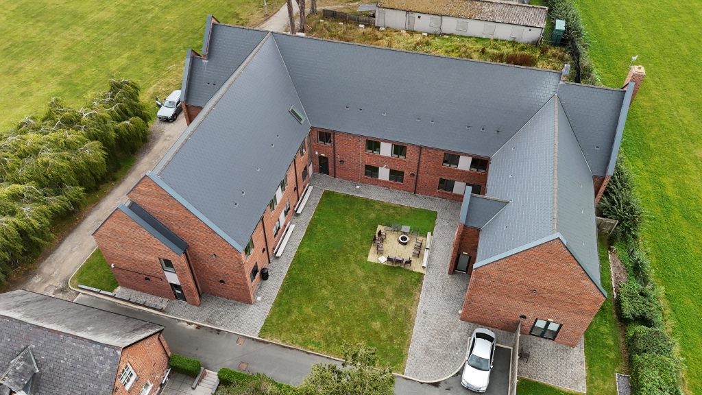
Survey support for developers, landlords, property managers and asset owners who need accurate site and building information for acquisition, feasibility, redevelopment, lease plans, area calculations and long-term asset records.
Relevant services: Measured Building Surveys, Area Referencing, Revit Models, Topographical Surveys, Digital Twin Survey Data
Construction & Civil Engineering
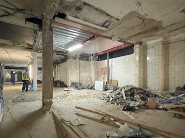
Survey data for contractors, engineers and project managers during design, construction and handover. We support projects with site control, setting out, as-built surveys, level surveys, topographical surveys, utility surveys and engineering survey information.
Relevant services: Engineering Surveys, Topographical Surveys, PAS128 Utility Surveys, 3D Laser Scanning, As-Built Surveys
Residential Property, Renovation & Extensions
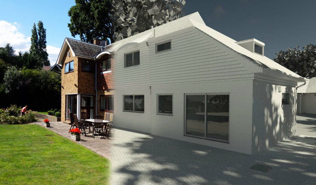
Survey data for homeowners, property owners, estate agents and residential developers planning renovation, extension, refurbishment or change-of-use projects. We provide clear drawings and survey information before design, planning or construction work begins.
Relevant services: Measured Building Surveys, Topographical Surveys, Boundary Surveys, Drone Surveys, CAD Drawings
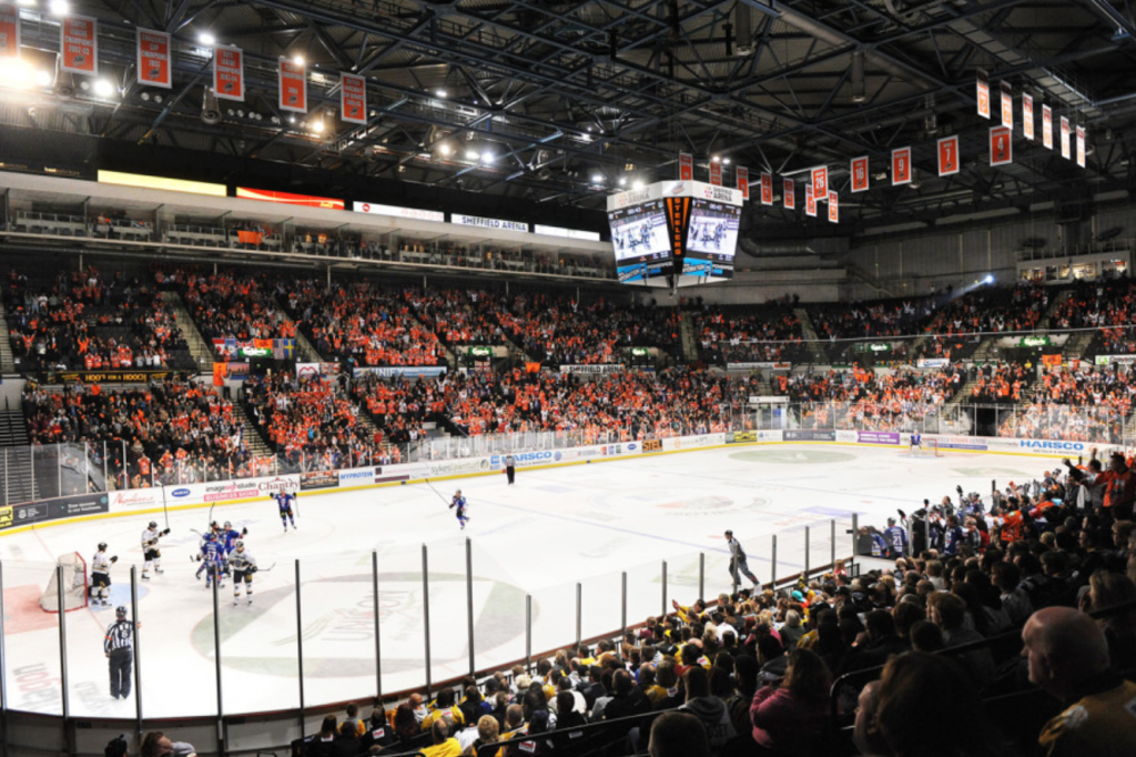
Retail, Hospitality & Fit-Out
Measured surveys for retail units, restaurants, cafés, hotels, leisure spaces and commercial fit-out projects. Our drawings help architects, interior designers, contractors and franchise teams understand existing spaces before design and refurbishment work starts.
Relevant services: Measured Building Surveys, Internal Elevations, Reflected Ceiling Plans, 3D Laser Scanning, Revit Models
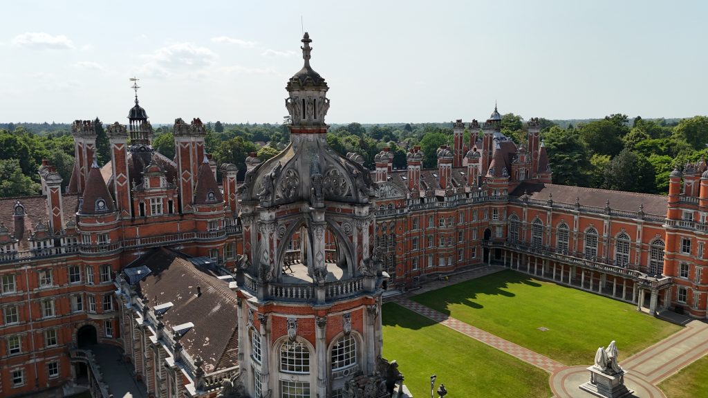
Heritage, Listed Buildings & Historic Properties
Careful measured survey and 3D laser scanning for listed buildings, heritage properties and sensitive refurbishment projects. We help architects, heritage consultants and property owners record existing buildings accurately before design, conservation or planning work.
Relevant services: Measured Building Surveys, 3D Laser Scanning, Elevations, Sections, Scan to BIM

Local Authorities & Public Sector
Survey support for councils, public bodies, regeneration schemes, civic buildings and public estates. We provide measured surveys, Revit BIM models, topographical surveys, area data and multi-site survey support for planning, asset review and improvement programmes.
Relevant services: Measured Building Surveys, Revit BIM, Topographical Surveys, Area Referencing, Digital Twin Survey Data
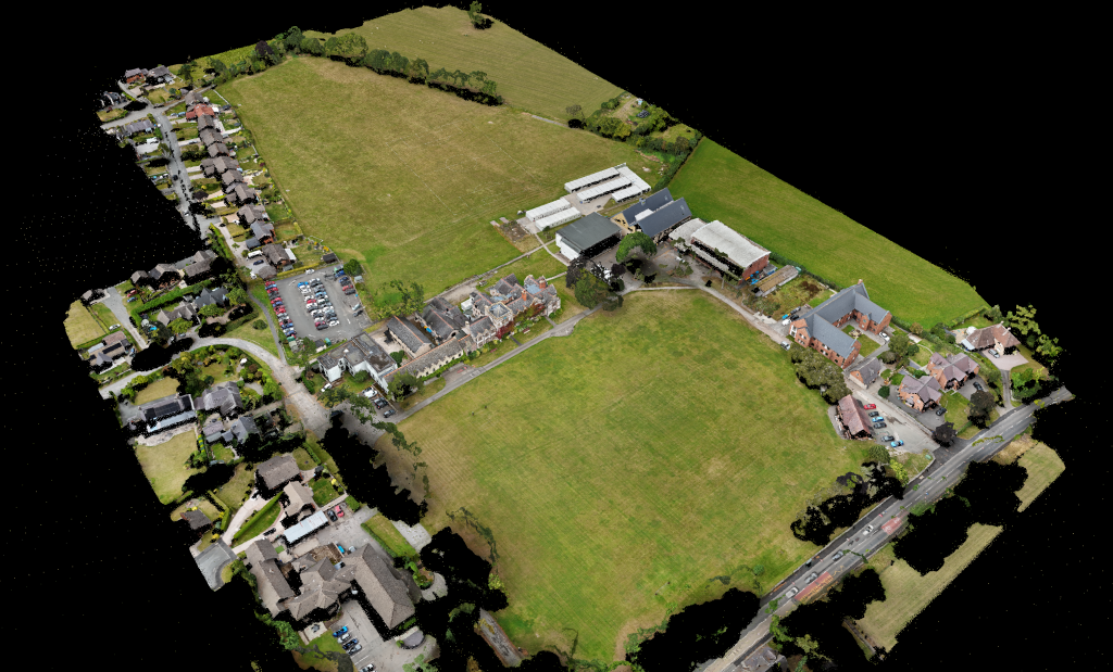
Education, Schools & Campus Estates
Survey data for schools, colleges, universities and education estates. We support planning, refurbishment, maintenance, estate records and future development with coordinated building and site survey information.
Relevant services: Measured Building Surveys, Topographical Surveys, Revit Models, Drone Surveys, CAD Drawings
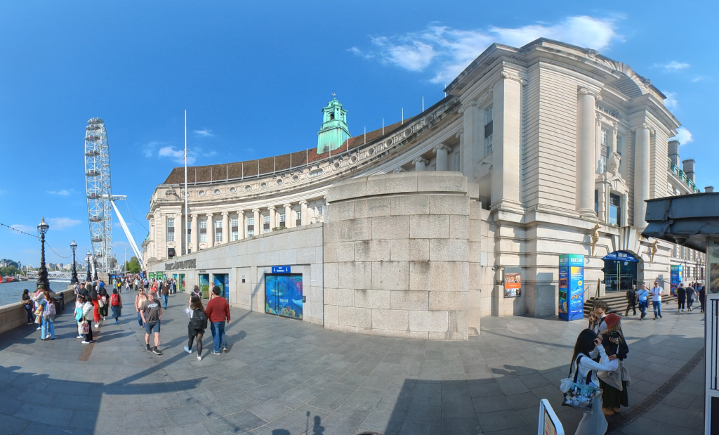
Commercial Offices & Facilities Management
Survey information for commercial buildings, offices, managed properties and facilities teams. We provide existing-condition data for refurbishment, fit-out, asset records, lease plans, area calculations and building management.
Relevant services: Measured Building Surveys, Area Referencing, 3D Laser Scanning, Revit Models, Digital Twin Survey Data
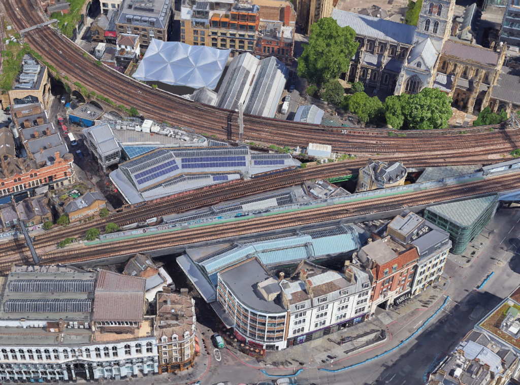
Infrastructure, Rail, Highways & Large Sites
Survey support for infrastructure, rail, highways, public realm and large external sites. We capture levels, structures, access routes, surrounding features, control data and 3D information for design, construction and asset review.
Relevant services: Topographical Surveys, Engineering Surveys, 3D Laser Scanning, Drone Surveys, Utility Surveys
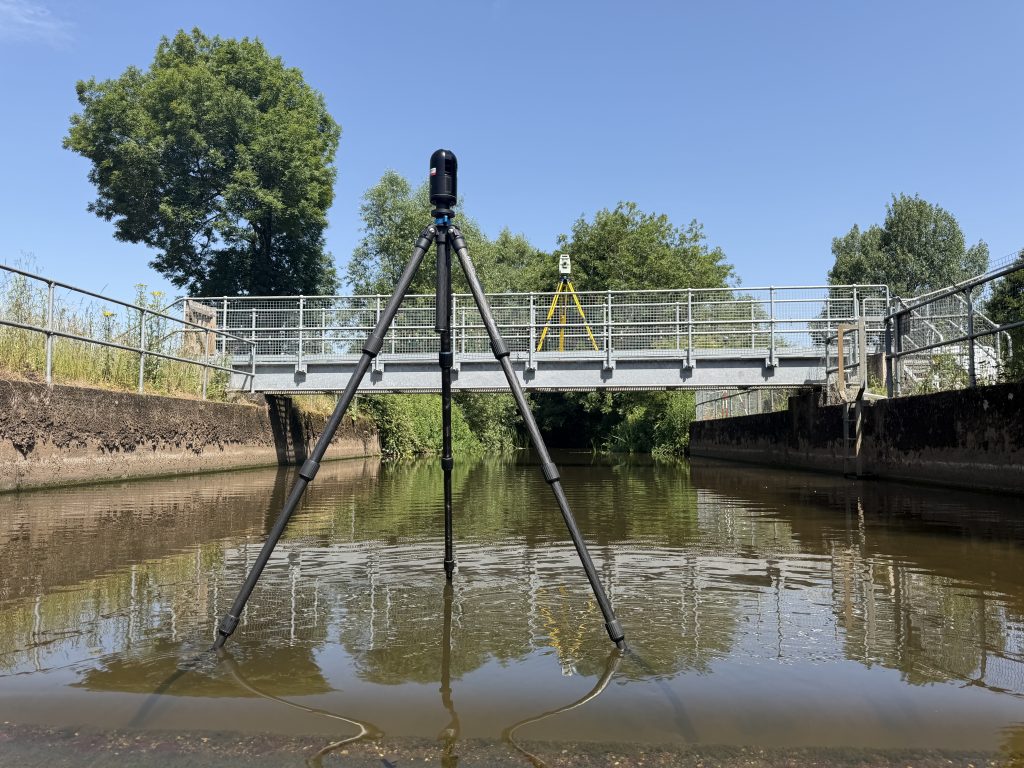
Water, Environment & Land Projects
Specialist survey data for rivers, canals, lakes, ponds, woodland sites and difficult-access environments. We combine land survey, hydrographic, bathymetric, drone and scanning methods where projects require both land and water data.
Relevant services: Topographical Surveys, Hydrographic Surveys, Bathymetric Surveys, Drone Surveys, Engineering Surveys
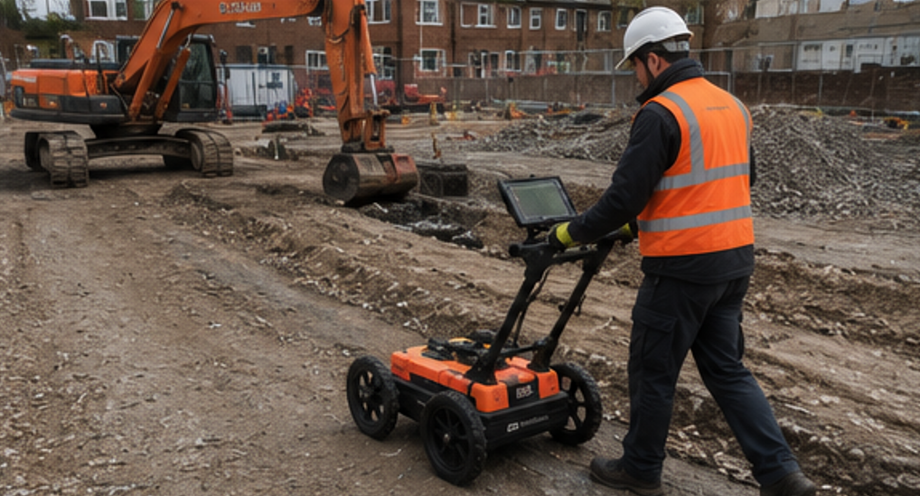
Utilities, Drainage & Below-Ground Risk
Survey support for projects where underground services, drainage and below-ground constraints need to be understood before design, excavation or construction. We provide PAS128 utility surveys, GPR mapping, EML tracing, drainage CCTV and manhole information.
Relevant services: PAS128 Utility Surveys, Drainage CCTV, Topographical Surveys, Engineering Surveys
Survey Data Your Project Team Can Rely On
Different sectors need different survey outputs. An architect may need accurate CAD plans and Revit models. A developer may need topographical data and existing-building information for feasibility. A contractor may need setting out, as-built data or utility information. A property owner may need reliable plans before refurbishment, extension or lease discussions.
Cura Surveys combines professional survey experience with modern data capture methods, including laser scanning, total station, GNSS, SLAM scanning, drone surveys and in-house CAD and BIM production.
This allows us to provide joined-up survey information across buildings, sites, utilities, drainage, levels, water environments and 3D data.
Why Cura Surveys?
Cura Surveys stands out because we do not just provide one type of survey. We can combine building, land, utility, drainage, water, drone, laser scanning and BIM survey information into one coordinated package.
Clients choose us because we provide:
- RICS-regulated survey services
- 20+ years of professional surveying experience
- Accurate CAD, Revit, BIM and point cloud deliverables
- Laser scanning, GNSS, total station, SLAM and drone capability
- Measured building, topographical, utility, drainage and hydrographic survey support
- Clear scopes, practical advice and responsive communication
- Survey data suitable for planning, design, refurbishment, construction and asset management
Our focus is to provide survey information that is accurate, clear and genuinely useful to the people who need to make decisions from it.
Selected Project Experience
Our sector experience includes survey work for landmark buildings, regeneration schemes, public venues, luxury retail premises, education estates, heritage properties, water environments and large commercial projects.
Examples include London County Hall, OVO Arena Wembley, Sutton High Street regeneration, Borough Market, Gucci New Bond Street, Somerset House, Grand Union Canal, Ruthin School, Crofton and Sparrow Woods, and selected international hotel survey projects.
Need Survey Data for Your Sector?
Whether you are an architect, developer, contractor, property owner, local authority, estate manager, engineer or consultant, Cura Surveys can provide accurate survey data for your next project.
Send us the site address, survey extent, required deliverables and deadline, and we will provide a clear fixed-fee quotation.
Posted on GoogleTrustindex verifies that the original source of the review is Google. We were particularly happy with how easy the whole process was to organise, from start to finish. Communication was clear and prompt throughout, and Lei was professional, friendly, and completely unobtrusive while carrying out the survey. The drawings are excellent and very clear, and we would happily recommend this company to anyone looking for this service.Posted on GoogleTrustindex verifies that the original source of the review is Google. Cura Surveys were wonderful. It took very little time to organise an appointment to measure my flat, and the measured survey came through on time. Additionally, Lei was kind enough to send me a PDF version with some specific measurements I needed which were otherwise very hard for me to calculate given that I don't have the software my architects/designers have.Posted on GoogleTrustindex verifies that the original source of the review is Google. Very efficient and professional.Posted on GoogleTrustindex verifies that the original source of the review is Google. Excellent service.Posted on GoogleTrustindex verifies that the original source of the review is Google. Cura Surveys offer & deliver a first class, attentive service. They are flexible and efficient. And the quality of the survey outputs are great. I thoroughly recommend Lei & the team.Posted on GoogleTrustindex verifies that the original source of the review is Google. Well donePosted on GoogleTrustindex verifies that the original source of the review is Google. We approached Lei for a building & topological survey in preparation for planing, such a lovely person and the plans were off a very high standard. I would strongly recommend this company, plans came back in a week, easy communication and very professional. My architect is very happy. They are also very reasonable with costs. Excellent all rounder. Thank you Lei. A very happy customer. ChantalPosted on GoogleTrustindex verifies that the original source of the review is Google. We are an Engineering company based in London and have worked with Lei on several occasions on various projects within the construction industry. The quality of scans are always excellent quality, and provide a very efficient service. We look forward to working with Cura surveys in the future.Posted on GoogleTrustindex verifies that the original source of the review is Google. We used Cura Surveys for two of the residential projects we have been involved with and we’re impressed with their level of professionalism. They were courteous on site and provided a complete and high quality survey. Wouldn’t hesitate to recommend.
Related Services
This project is relevant to:
- Measured Building Surveys
- 3D Laser Scanning Surveys
- CAD Survey Drawings
- Reflected Ceiling Plans
- Internal Elevations
- Scan to BIM Services
- Retail and Hospitality Surveys
Need a Survey for a Retail or Hospitality Fit-Out?
Cura Surveys provides measured building surveys, CAD drawings, internal elevations, reflected ceiling plans, point cloud data and Revit models for retail, restaurant and hospitality fit-out projects across London and the UK.
Send us the site address, survey extent, required drawings and deadline, and we will provide a clear fixed-fee quotation.
Call us on 0203 488 5858 or email info@curasurveys.co.uk with your project details. We’ll provide a clear no-obligation quote (with no hidden costs) and feasible timescales.