
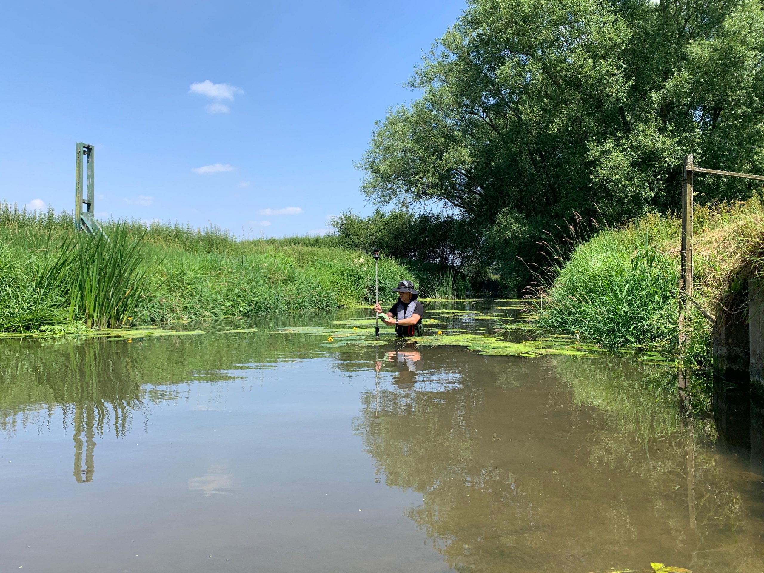
Hydrographic Survey & Bathymetric Survey
Cura Surveys provides professional hydrographic and bathymetric survey services for rivers, lakes, ponds, reservoirs, canals, docks, harbours, drainage channels, bridges, culverts, outfalls and water-based infrastructure.
Our surveys measure underwater levels, bed profiles, banks, structures, water levels and surrounding land features to support design, engineering, flood risk assessment, dredging, construction, asset management and environmental projects.
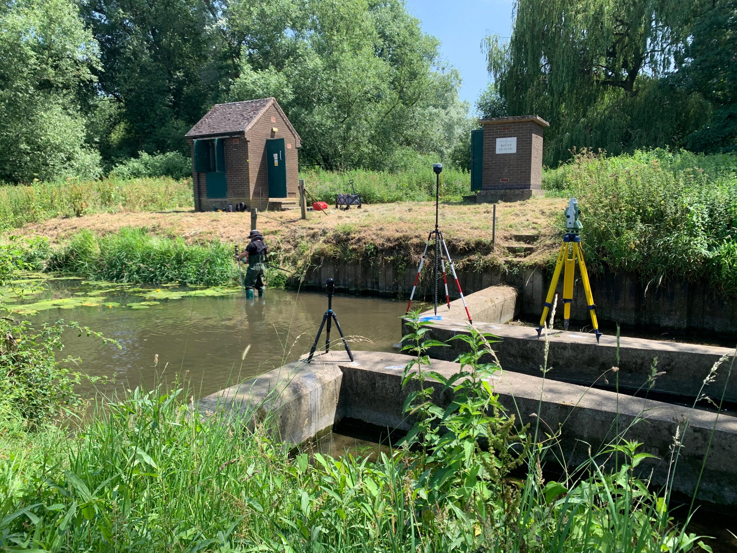
We use a combination of survey methods, including sonar, GNSS, total station, laser scanning, SLAM scanning and boat-based survey techniques, depending on the site conditions and project requirements.
Our hydrographic and bathymetric survey data can be integrated with topographical surveys, measured surveys, point clouds, CAD drawings and 3D models to provide a complete and coordinated survey package.
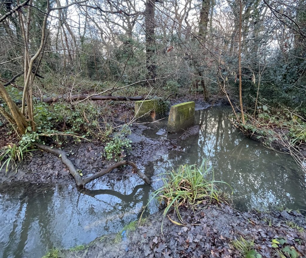
What is a Hydrographic Survey?
A hydrographic survey is a survey of water bodies and water-related features. It records information such as water depths, bed levels, banks, water edges, bridges, culverts, outfalls, retaining walls, embankments, channels and nearby topographical features.
Hydrographic surveys are commonly used for engineering design, flood modelling, watercourse assessment, dredging calculations, bridge and structure surveys, reservoir surveys and infrastructure maintenance.
They are particularly useful where land and water survey information need to be combined into one accurate drawing or model.
Posted on GoogleTrustindex verifies that the original source of the review is Google. We were particularly happy with how easy the whole process was to organise, from start to finish. Communication was clear and prompt throughout, and Lei was professional, friendly, and completely unobtrusive while carrying out the survey. The drawings are excellent and very clear, and we would happily recommend this company to anyone looking for this service.Posted on GoogleTrustindex verifies that the original source of the review is Google. Cura Surveys were wonderful. It took very little time to organise an appointment to measure my flat, and the measured survey came through on time. Additionally, Lei was kind enough to send me a PDF version with some specific measurements I needed which were otherwise very hard for me to calculate given that I don't have the software my architects/designers have.Posted on GoogleTrustindex verifies that the original source of the review is Google. Very efficient and professional.Posted on GoogleTrustindex verifies that the original source of the review is Google. Excellent service.Posted on GoogleTrustindex verifies that the original source of the review is Google. Cura Surveys offer & deliver a first class, attentive service. They are flexible and efficient. And the quality of the survey outputs are great. I thoroughly recommend Lei & the team.Posted on GoogleTrustindex verifies that the original source of the review is Google. Well donePosted on GoogleTrustindex verifies that the original source of the review is Google. We approached Lei for a building & topological survey in preparation for planing, such a lovely person and the plans were off a very high standard. I would strongly recommend this company, plans came back in a week, easy communication and very professional. My architect is very happy. They are also very reasonable with costs. Excellent all rounder. Thank you Lei. A very happy customer. ChantalPosted on GoogleTrustindex verifies that the original source of the review is Google. We are an Engineering company based in London and have worked with Lei on several occasions on various projects within the construction industry. The quality of scans are always excellent quality, and provide a very efficient service. We look forward to working with Cura surveys in the future.Posted on GoogleTrustindex verifies that the original source of the review is Google. We used Cura Surveys for two of the residential projects we have been involved with and we’re impressed with their level of professionalism. They were courteous on site and provided a complete and high quality survey. Wouldn’t hesitate to recommend.
What is a Bathymetric Survey?
A bathymetric survey is the underwater equivalent of a topographical survey. Instead of measuring land levels, it measures the depth and shape of the bed beneath the water.
Bathymetric survey data can be used to produce:
- Underwater bed level plans
- River, lake, pond and reservoir bed models
- Cross sections and long sections
- Bed level contours
- 3D surfaces
- Silt level assessments
- Dredging volume calculations
- Channel and watercourse profiles
- Flood modelling survey information
Bathymetric surveys are useful wherever the underwater surface needs to be understood, measured or monitored.
Survey Methods We Use
Every hydrographic or bathymetric survey is different. The most suitable method depends on the water depth, access, flow conditions, visibility, site size, safety requirements and required accuracy.
Cura Surveys can use a combination of the following methods.
Sonar Survey
Sonar is commonly used to measure underwater bed levels. It allows us to capture depth information from a boat, floating platform or suitable survey setup.
Sonar survey is useful for:
- Rivers
- Lakes
- Ponds
- Reservoirs
- Canals
- Docks and basins
- Dredging surveys
- Silt build-up assessment
- Bed profile mapping
The sonar data can be combined with position information to create accurate bed level plans, sections, contours and 3D surfaces.
GNSS Survey
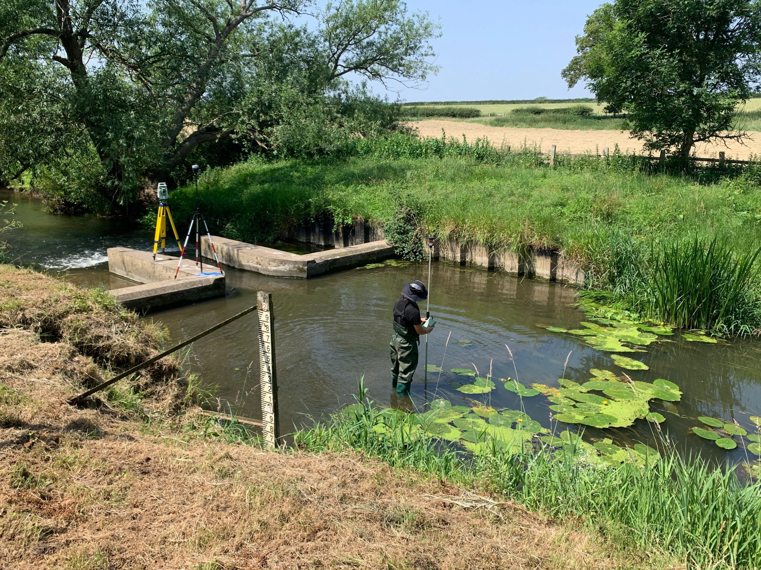
GNSS is used to position survey data accurately in real-world coordinates. It is commonly used for topographical survey, water edge survey, bank survey and positioning hydrographic data.
GNSS survey is useful for:
- Establishing site control
- Recording water edges and banks
- Positioning sonar survey data
- Surveying open sites around watercourses
- Tying survey data to national grid or local grid systems
- Recording levels and features around ponds, rivers and reservoirs
Where GNSS conditions are suitable, it provides an efficient method for capturing site-wide survey information.
Total Station Survey
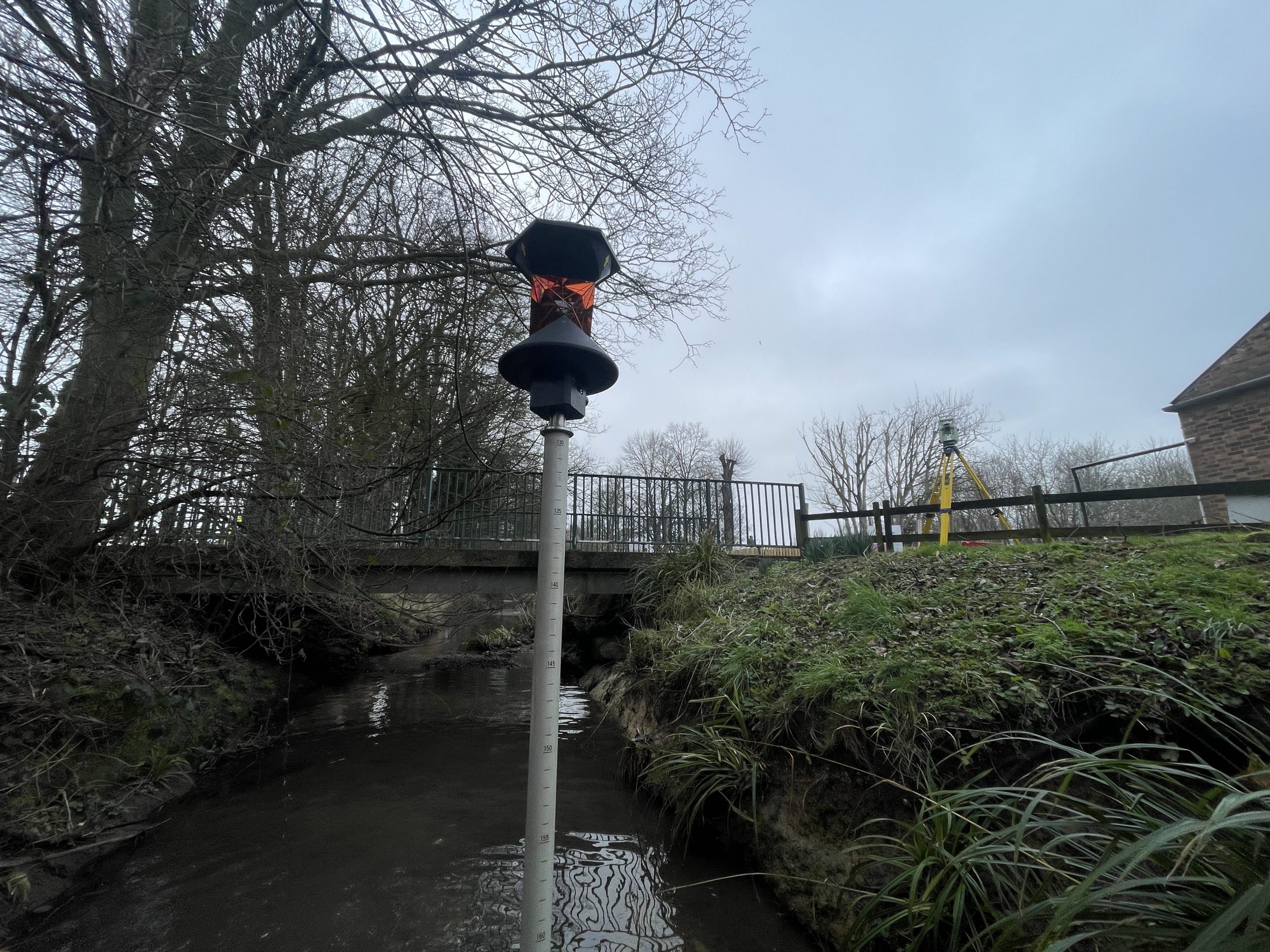
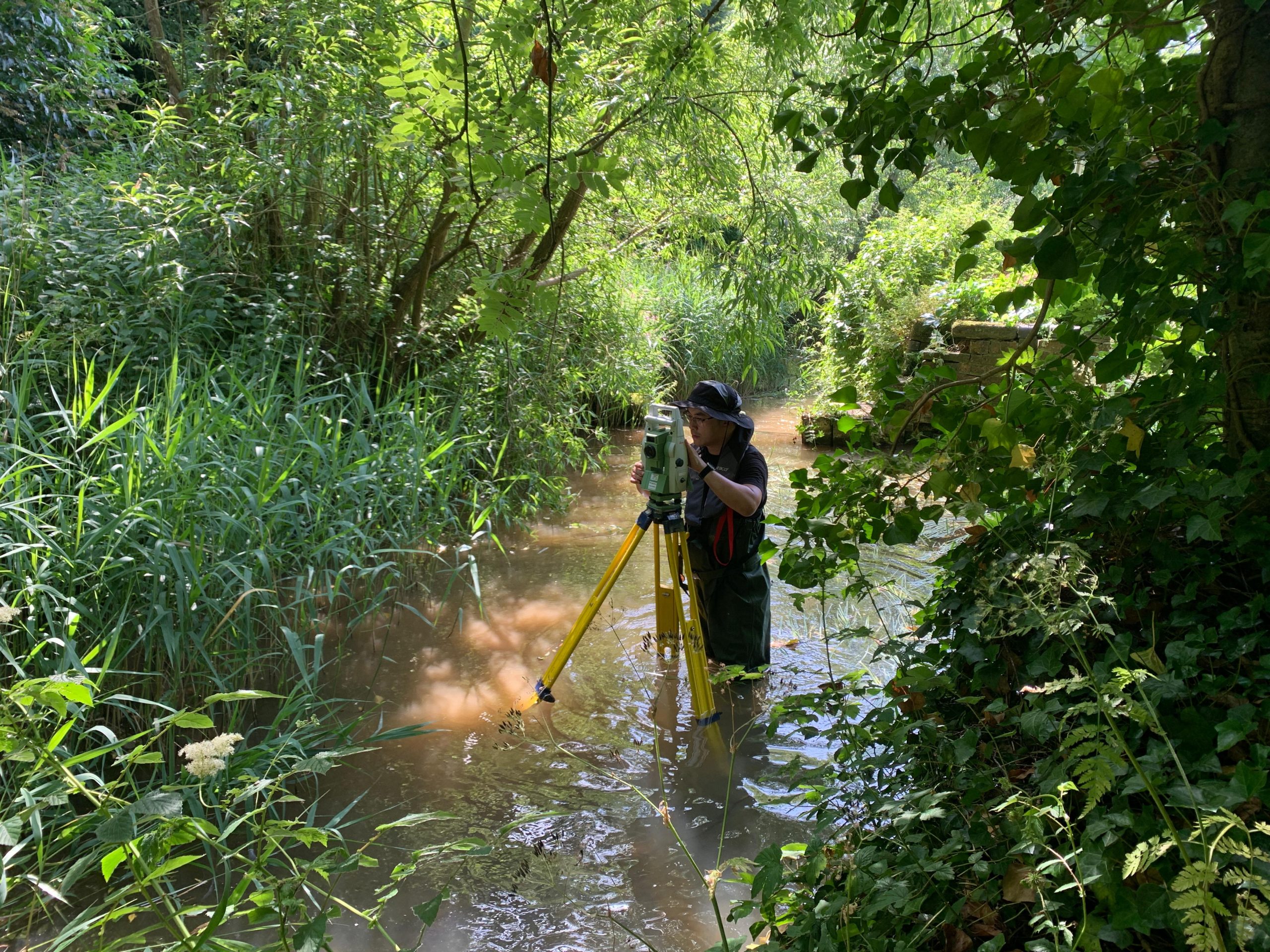
Total station survey is used where higher precision is required or where GNSS signal is limited, such as under bridges, near buildings, tree cover or confined sites.
Total station methods are useful for:
- Bridge surveys
- Culvert and outfall surveys
- Retaining walls and waterside structures
- Control networks
- Riverbank and embankment detail
- Shallow water sections
- Areas with poor GNSS signal
- Accurate level and feature survey
Total stations can also be used to pick up surrounding topographical detail and connect the hydrographic survey to the wider site survey.
Laser Scanning
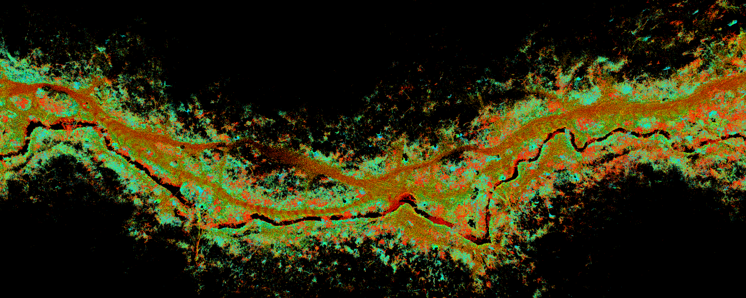
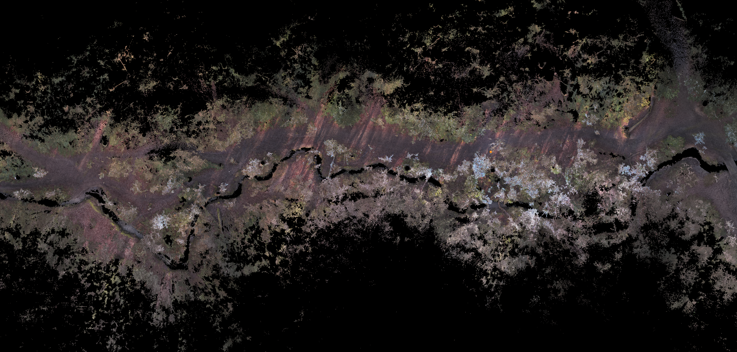
Laser scanning is useful for capturing complex structures and surrounding features in high detail. It can be used alongside hydrographic and bathymetric survey methods to record bridges, culverts, retaining walls, quaysides, embankments, building elevations and other hard-to-measure features.
Laser scanning is particularly useful for:
- Bridges and bridge soffits
- Culvert entrances
- Retaining walls
- Quaysides and dock structures
- Complex structures near water
- Existing buildings adjacent to watercourses
- Creating accurate point clouds
- Supporting CAD drawings and 3D models
This method allows the above-water structure and land features to be combined with underwater survey data.
SLAM Scanning
SLAM scanning is useful for quickly capturing complex or difficult-access environments where traditional survey methods may be slower.
It can be used for:
- Culverts
- Underpasses
- Drainage structures
- Internal or enclosed spaces
- Complex waterside buildings
- Confined access areas
- Rapid point cloud capture
SLAM scanning can provide a useful 3D record of areas that are difficult to capture using conventional survey methods alone.
Boat-Based Survey
For larger or deeper water bodies, survey work may be carried out using a boat or suitable floating platform.
Boat-based survey is useful for:
- Lakes
- Reservoirs
- Wider rivers
- Canals
- Docks
- Marinas
- Ponds where bank-based survey is not sufficient
- Bathymetric mapping
- Dredging and volume surveys
The boat-based approach allows sonar and positioning equipment to collect underwater depth data efficiently across the survey area.
Why Are Hydrographic and Bathymetric Surveys Important?
Water environments often contain hidden risks and unknown conditions. The underwater bed may be uneven, silted, eroded, obstructed or significantly different from older records.
A hydrographic or bathymetric survey helps project teams understand the existing conditions before design, construction or maintenance work begins.
These surveys can support:
- Flood risk assessment
- Hydraulic modelling
- River and watercourse design
- Dredging design and volume calculations
- Bridge and culvert assessment
- Reservoir, pond and lake management
- Canal and marina projects
- Outfall and drainage structure surveys
- Monitoring erosion, silting or bed movement
- Construction and infrastructure planning
- Environmental and habitat management
- Local authority and Environment Agency-related works
Accurate survey data helps reduce uncertainty and supports better project decisions.
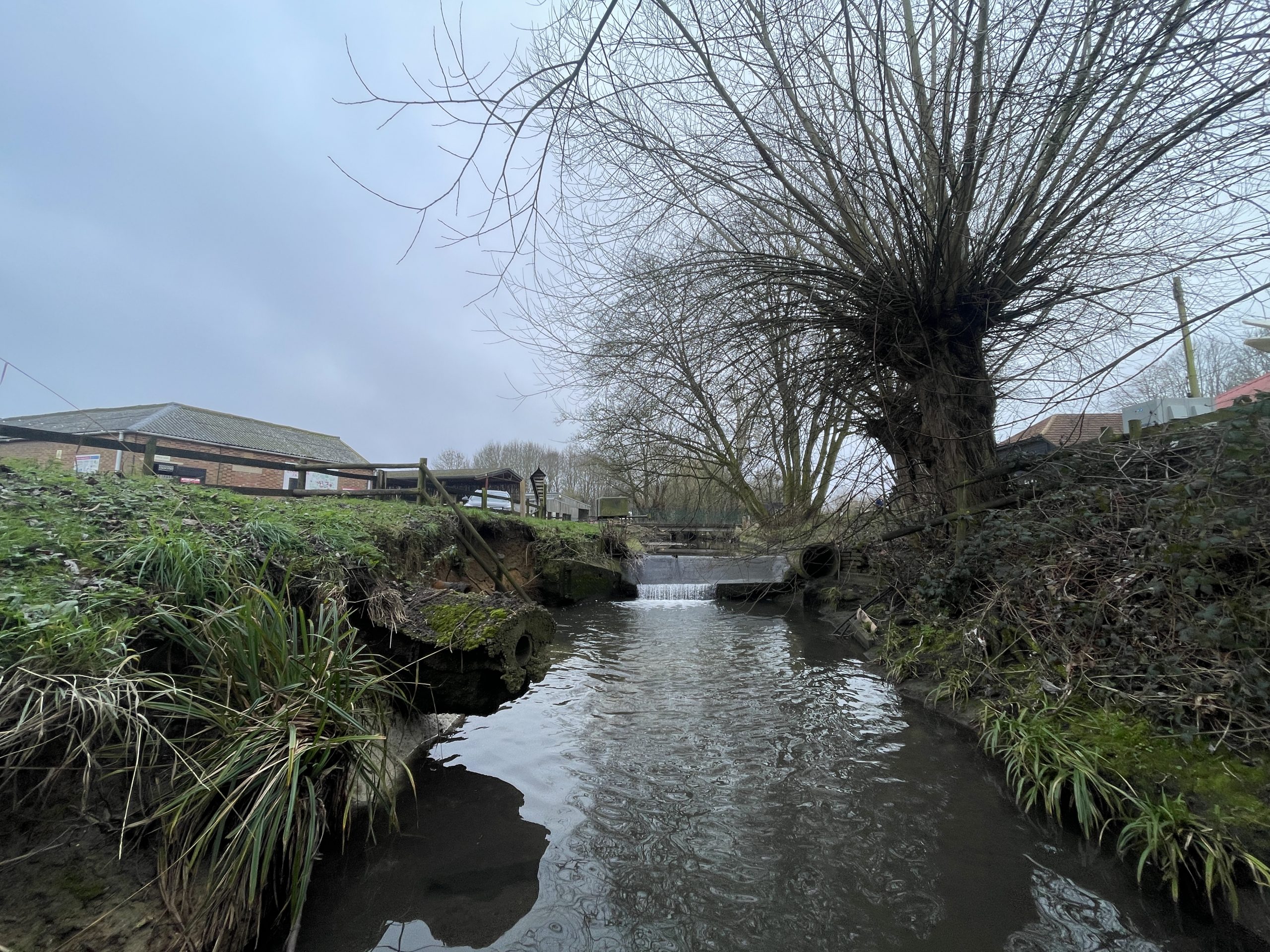
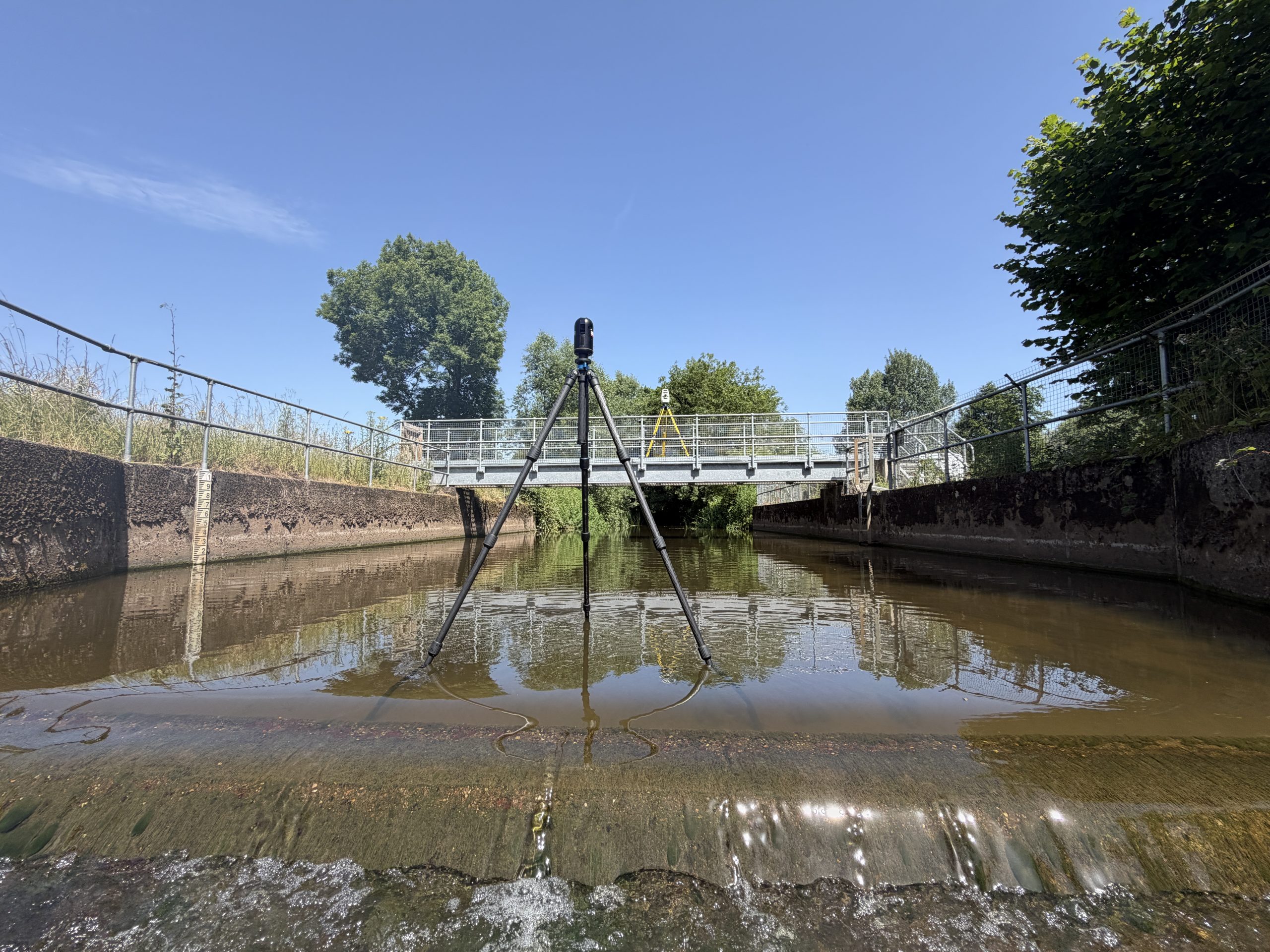
Experience Working with Local Authorities and the Environment Agency
Cura Surveys has experience supporting projects involving local authorities, public bodies, infrastructure teams and Environment Agency-related works.
We understand that surveys for rivers, watercourses, drainage channels, culverts, bridges, flood risk areas and public infrastructure often need to meet specific project requirements and be suitable for review by engineers, consultants, councils and regulatory bodies.
Our team can provide clear and well-structured survey information to support:
- Environment Agency projects and watercourse assessments
- Local authority drainage and infrastructure schemes
- Flood risk assessments and hydraulic modelling
- River, canal and culvert improvement works
- Bridge, outfall and watercourse surveys
- Public realm and highway drainage projects
- Asset records and maintenance planning
- Planning applications and development proposals near watercourses
- Construction and maintenance works around public assets
We are familiar with working around access constraints, permit requirements, public land, sensitive environments and programme-driven projects.
Where required, we can coordinate hydrographic and bathymetric survey data with topographical surveys, engineering surveys, laser scanning and CAD deliverables to provide a complete survey package.
A hydrographic survey is a broader survey of water bodies and related features, including banks, structures, water levels and surrounding site information. A bathymetric survey specifically measures the underwater bed levels and water depths. In many projects, the two are carried out together.
A bathymetric survey shows the depth and shape of the underwater bed. The output can include bed levels, contours, cross sections, long sections, 3D surfaces and volume calculations.
We use a combination of methods depending on the site and project requirements. These may include sonar, GNSS, total station survey, laser scanning, SLAM scanning and boat-based survey methods. The selected method depends on water depth, access, safety, flow conditions and required accuracy.
Yes. Laser scanning can be used to capture bridges, culverts, retaining walls, quaysides, embankments and other structures near water. This can be combined with bathymetric survey data to provide a more complete 3D record of the site.
Where safe access is available, we can survey culverts, underpasses, drainage structures and confined or restricted spaces using suitable methods such as total station survey, laser scanning or SLAM scanning. The final method will depend on access, safety and site conditions.
Yes. We can provide cross sections and long sections through rivers, channels, ponds, lakes, culverts and other water features. These are often used for engineering design, flood modelling and drainage assessment.
Yes. Cura Surveys has experience supporting projects involving local authorities, public infrastructure and Environment Agency-related works. We can provide clear survey deliverables suitable for engineers, consultants, councils, contractors and project teams.
We can survey rivers, streams, lakes, ponds, reservoirs, canals, docks, marinas, drainage channels, outfalls, culverts, bridges and other water-related sites, subject to safe access and suitable site conditions.
This depends on the flow conditions, access and safety risks. We will review the site before confirming the survey method. Some watercourses may require specialist access arrangements or may only be suitable under certain weather and water level conditions.
Yes. Shallow water can often be surveyed using pole measurements, wading methods, total station observations, GNSS or other suitable techniques, depending on depth, flow, bed conditions and health and safety requirements.
Deliverables can include CAD drawings, PDF plans, bed level drawings, cross sections, long sections, contours, 3D surfaces, point data, volume calculations, point clouds and survey reports. The exact deliverables will be agreed before the survey starts.
The timescale depends on the size of the water body, access, water depth, flow conditions, required detail and deliverables. A small pond or short river section may be completed quickly, while larger lakes, reservoirs, canals or complex watercourses may require more time on site and additional processing. We will confirm the expected programme when preparing your quotation.
Call us on 0203 488 5858 or email info@curasurveys.co.uk with your project details. We’ll provide a clear no-obligation quote (with no hidden costs) and feasible timescales.