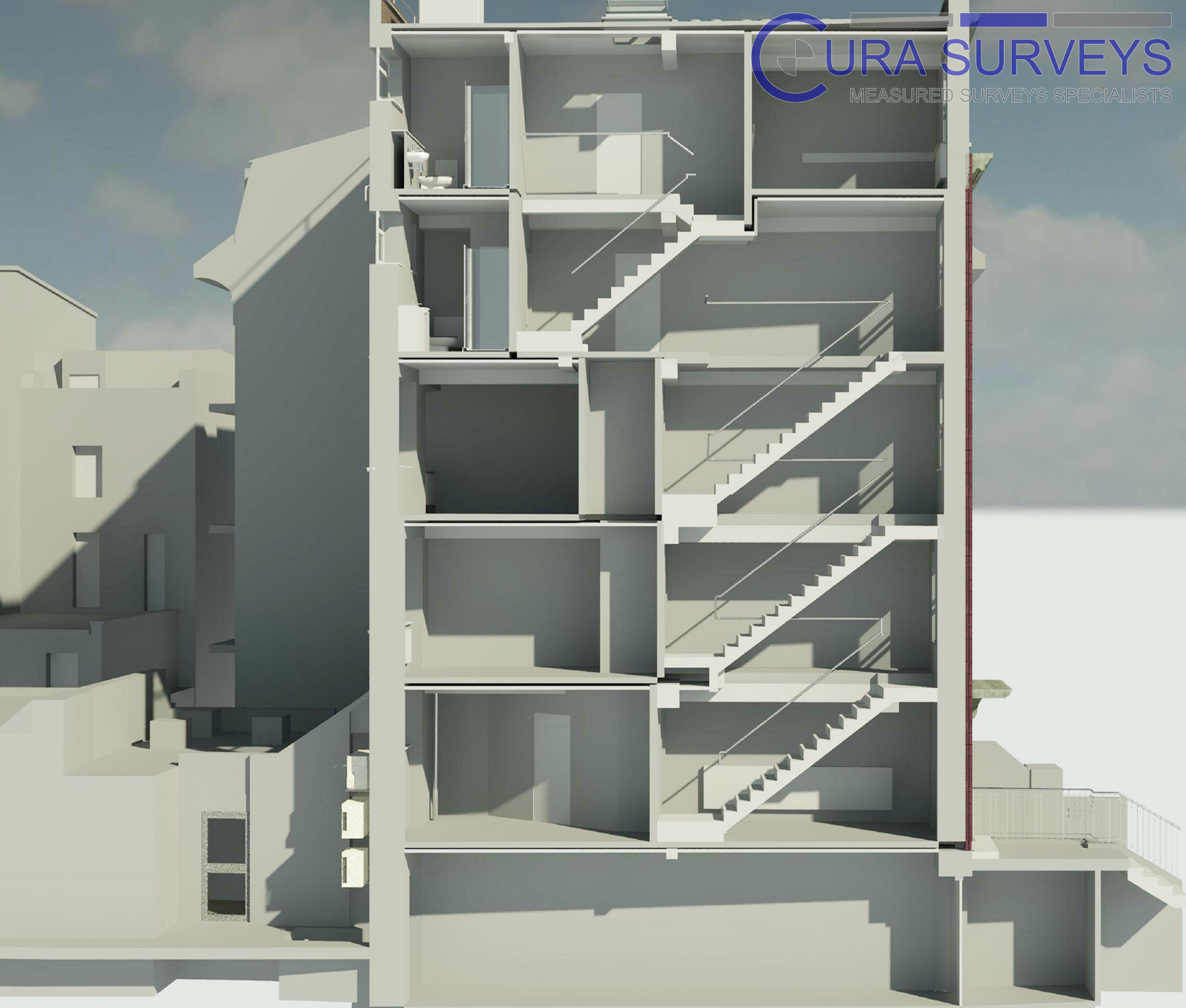
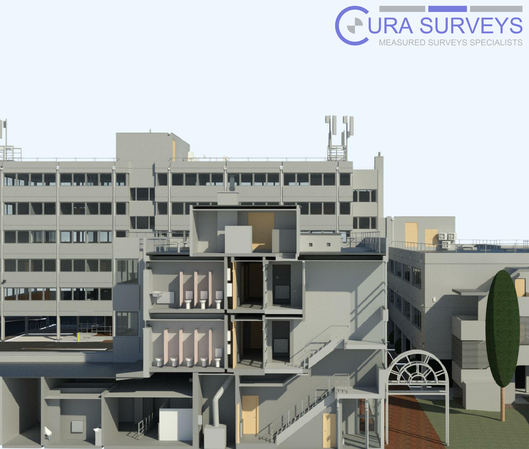
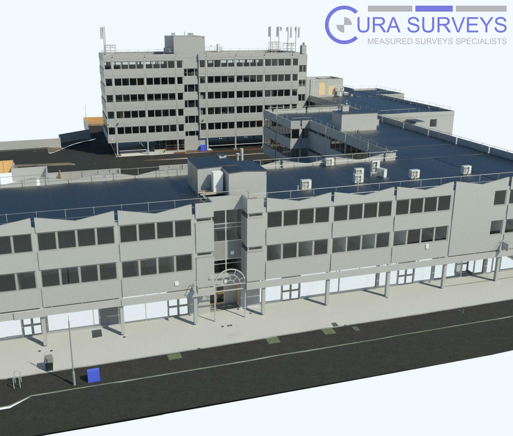
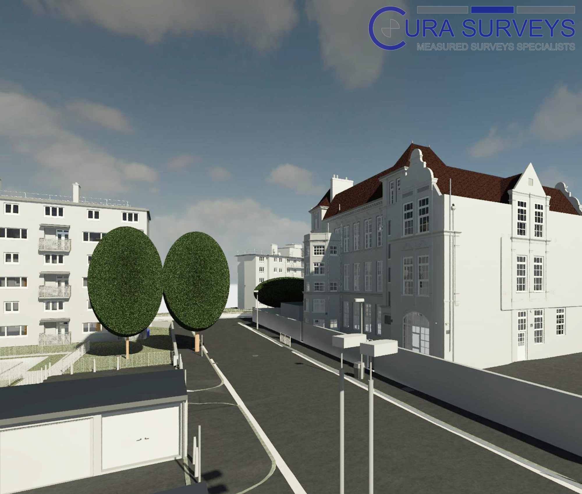
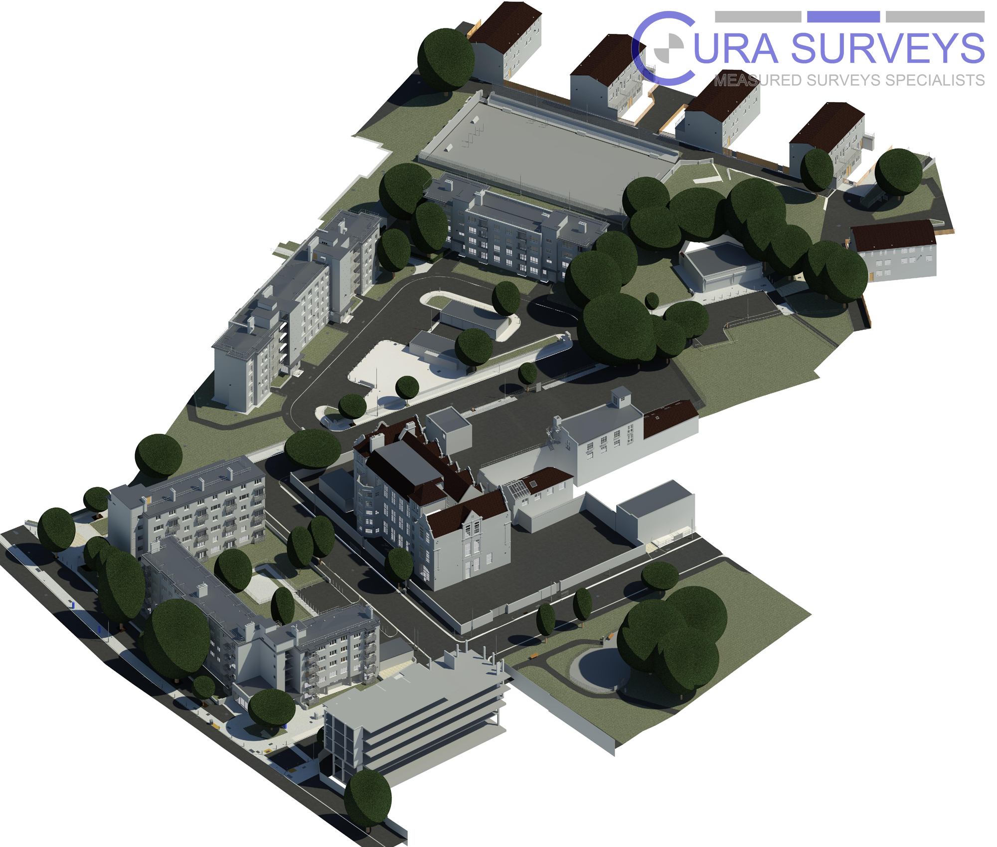
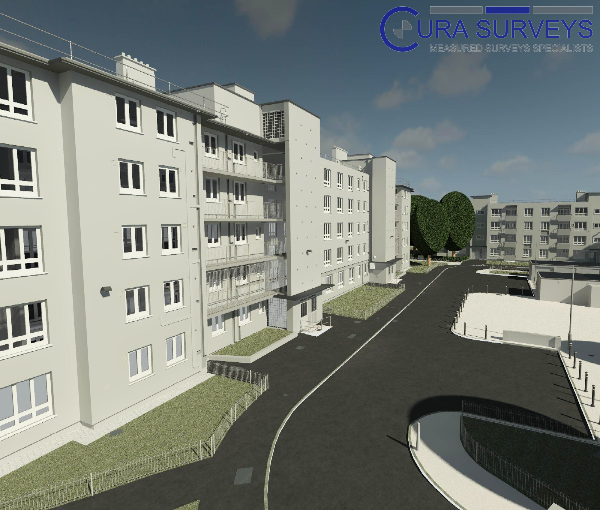
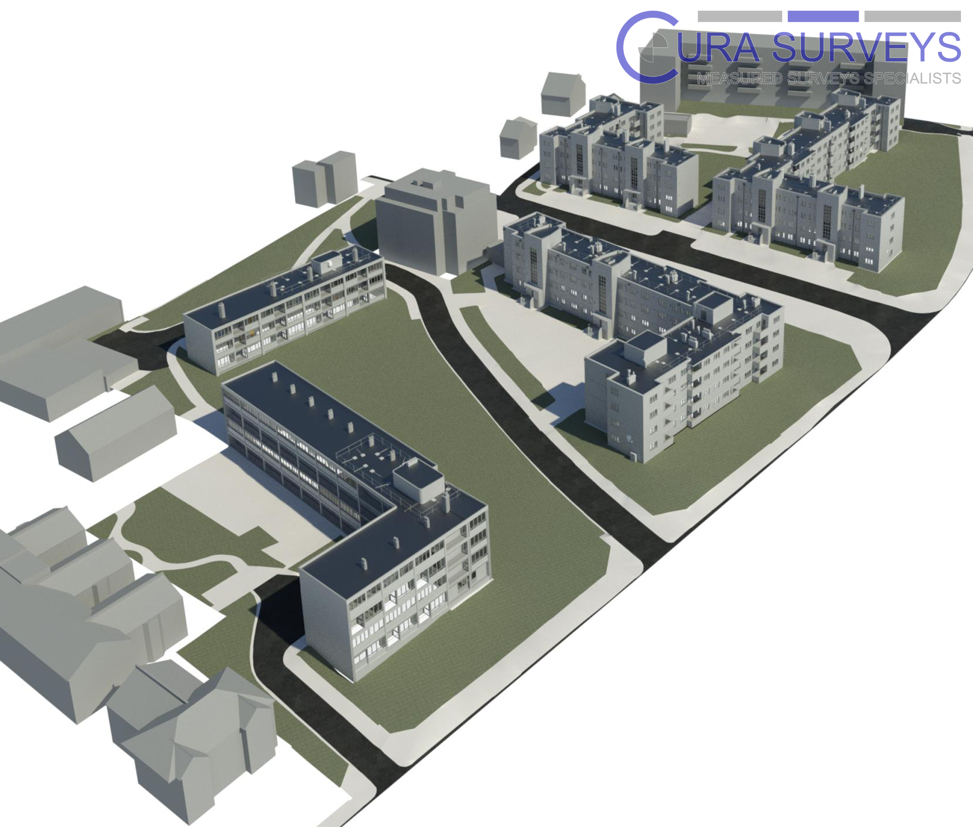
High-accuracy 3D laser scanning surveys for architects, engineers, contractors, developers and property owners. Cura Surveys captures detailed existing-condition data and delivers accurate point clouds, CAD drawings, Revit models and BIM-ready survey information for design, refurbishment, planning and construction projects.
Cura Surveys provides professional 3D laser scanning surveys in London and across the UK for architects, engineers, contractors, developers and property owners.
Using high-accuracy terrestrial laser scanners, we capture detailed existing-condition data and produce accurate point clouds, CAD drawings, Revit models and BIM-ready survey information for design, planning, refurbishment and construction projects.
3D laser scanning is particularly useful for complex buildings, large sites, heritage properties, commercial spaces, plant rooms, façades, roof areas and projects where reliable existing data is critical before design or construction work begins.
Professional 3D Laser Scanning Survey Services
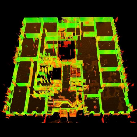
Cura Surveys provides professional 3D laser scanning surveys in London and across the UK. We use high-accuracy laser scanning equipment to capture detailed 3D point cloud data of buildings, sites and structures.
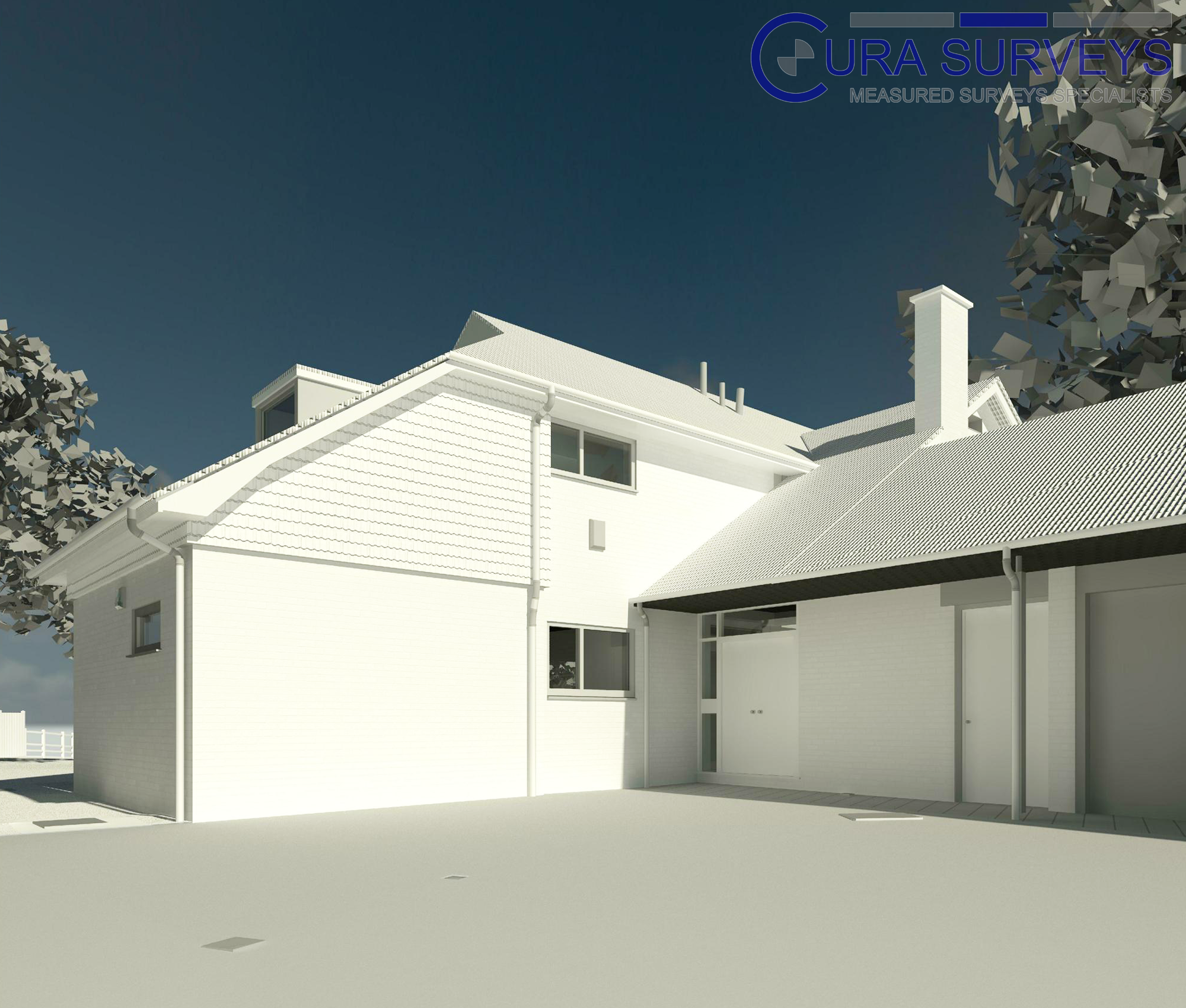
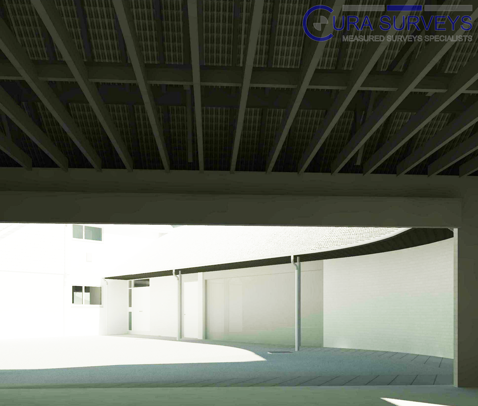
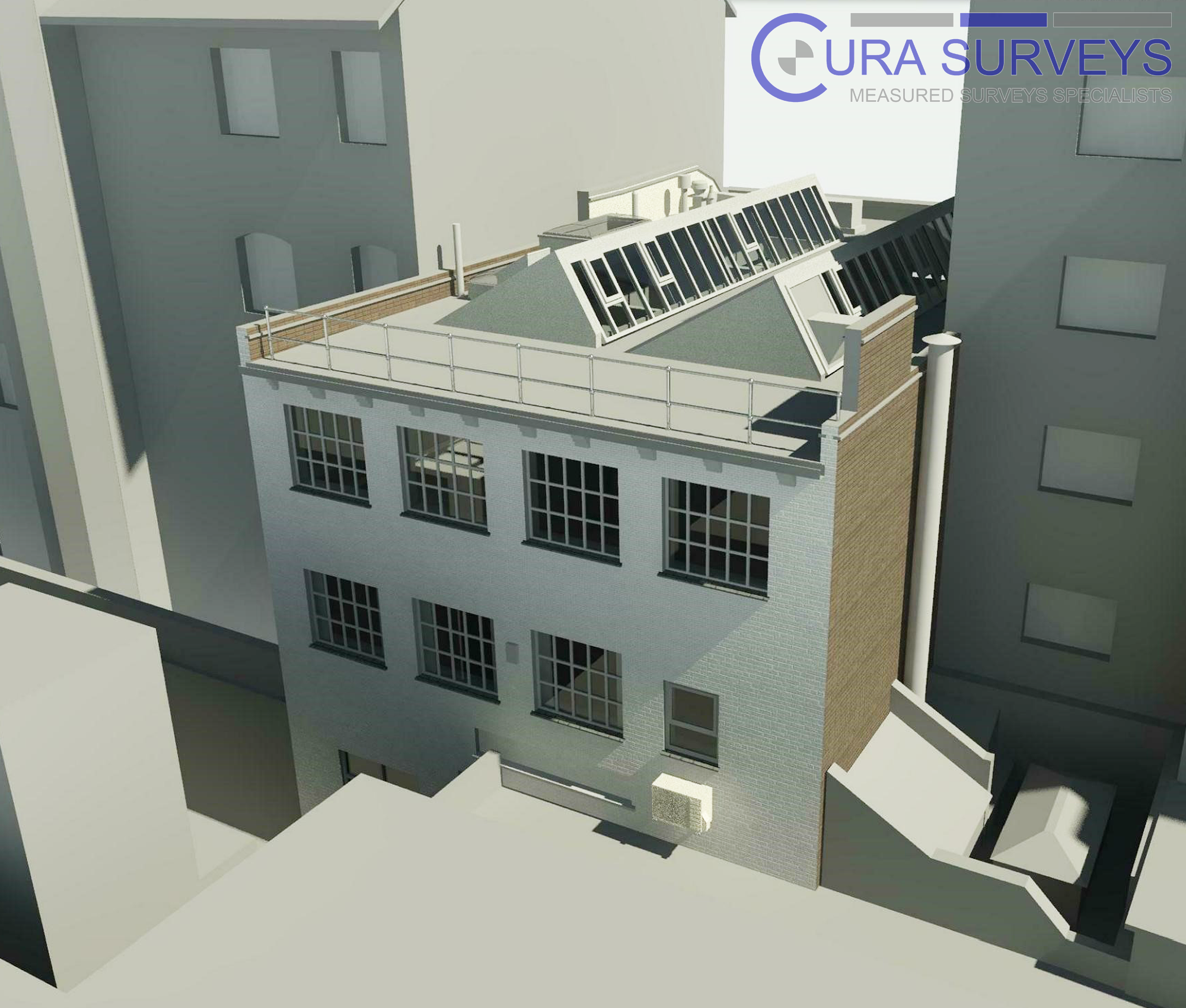
The survey data can be used to produce measured building drawings, 3D Revit models, Scan to BIM deliverables, existing-condition records and accurate information for design and construction coordination.
3D laser scanning is particularly useful for complex buildings, commercial spaces, heritage properties, plant rooms, façades, roof areas and projects where reliable existing information is required before design or construction work begins.
What We Deliver
Our 3D laser scanning surveys can be delivered in a range of formats depending on your project requirements.
Registered point cloud data
AutoCAD DWG drawings
Floor plans, elevations and sections
Reflected ceiling plans
3D Revit models
Scan to BIM models
E57, RCP, RCS or other point cloud formats where required
Existing-condition survey data for design and refurbishment
Survey information for architects, engineers, contractors and project teams
When 3D Laser Scanning Is Useful
3D laser scanning is ideal when a project requires accurate, detailed and reliable existing-condition information. It is often used where traditional manual measurement would be too slow, incomplete or difficult to verify.
Measured building surveys
Scan to BIM and Revit modelling
Commercial and residential refurbishment
Heritage and listed buildings
Complex internal layouts
Plant rooms and MEP coordination
Façade and elevation surveys
Roof and high-level areas
Construction verification
Large buildings and multi-level sites
Projects requiring accurate as-built records
Our Survey Method
Our surveyors capture dense 3D point cloud data using professional laser scanning equipment. Depending on the site conditions and required accuracy, we can combine terrestrial laser scanning with total station control, GNSS, SLAM scanning or drone survey data.
The scans are registered, checked and processed by our in-house team before being converted into the required deliverables. These may include CAD drawings, Revit models, point cloud files or BIM-ready survey information.
This approach allows us to capture complex geometry, reduce return visits and provide a reliable survey base for architects, engineers, contractors and design teams.
Trustindex verifies that the original source of the review is Google.
We were particularly happy with how easy the whole process was to organise, from start to finish. Communication was clear and prompt throughout, and Lei was professional, friendly, and completely unobtrusive while carrying out the survey. The drawings are excellent and very clear, and we would happily recommend this company to anyone looking for this service.
Posted on Google
Beatrice Gatti
Trustindex verifies that the original source of the review is Google.
Cura Surveys were wonderful. It took very little time to organise an appointment to measure my flat, and the measured survey came through on time. Additionally, Lei was kind enough to send me a PDF version with some specific measurements I needed which were otherwise very hard for me to calculate given that I don't have the software my architects/designers have.
Posted on Google
Rebecca Bibb
Trustindex verifies that the original source of the review is Google.
Very efficient and professional.
Posted on Google
Julia Wan
Trustindex verifies that the original source of the review is Google.
Excellent service.
Posted on Google
Gareth Lewis
Trustindex verifies that the original source of the review is Google.
Cura Surveys offer & deliver a first class, attentive service.
They are flexible and efficient.
And the quality of the survey outputs are great.
I thoroughly recommend Lei & the team.
Posted on Google
Simon Whiteley
Trustindex verifies that the original source of the review is Google.
Well done
Posted on Google
Angela Fabri
Trustindex verifies that the original source of the review is Google.
We approached Lei for a building & topological survey in preparation for planing, such a lovely person and the plans were off a very high standard. I would strongly recommend this company, plans came back in a week, easy communication and very professional. My architect is very happy. They are also very reasonable with costs. Excellent all rounder. Thank you Lei. A very happy customer. Chantal
Posted on Google
Sophie Court
Trustindex verifies that the original source of the review is Google.
We are an Engineering company based in London and have worked with Lei on several occasions on various projects within the construction industry. The quality of scans are always excellent quality, and provide a very efficient service. We look forward to working with Cura surveys in the future.
Posted on Google
Julia Hamson
Trustindex verifies that the original source of the review is Google.
We used Cura Surveys for two of the residential projects we have been involved with and we’re impressed with their level of professionalism. They were courteous on site and provided a complete and high quality survey. Wouldn’t hesitate to recommend.