
Surveys for Architects, Planning Consultants & Design Teams
Cura Surveys provides accurate survey data for architects, planning consultants, interior designers and design teams working on renovation, extension, refurbishment, planning and construction projects.
Before design work begins, your team needs reliable existing-site information. We provide measured building surveys, topographical surveys, 3D laser scanning, CAD drawings, Revit models, point cloud data and Scan to BIM services to help you design with confidence.
Our survey deliverables are clear, accurate and practical, giving architects and consultants a dependable base for planning applications, concept design, technical design, coordination and construction drawings.
Regulated by RICS | Director-led Service
9+ Years in Business | 3,600+ Projects Delivered
For enquiries received Monday to Friday, 9am–5pm, where sufficient project information has been provided.
Survey Data for Design and Planning
Accurate survey information is essential at the start of any architectural project. Poor existing drawings, outdated records or missing site information can lead to design errors, delays and costly changes later.
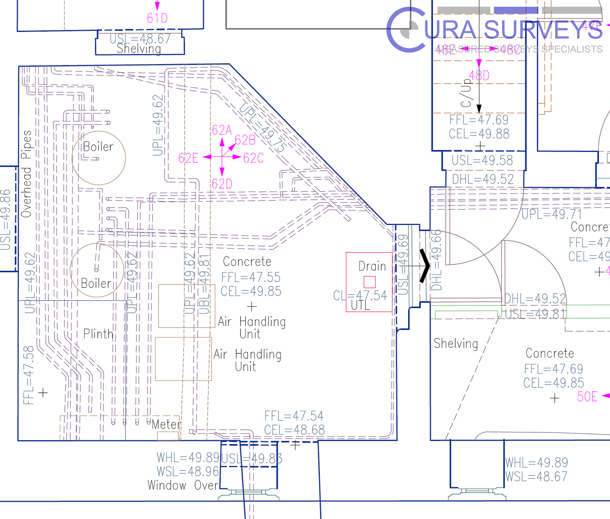
Cura Surveys helps design teams understand the existing building or site before decisions are made. Our surveys can record layouts, levels, elevations, sections, roof information, ceiling details, site features, trees, boundaries, surrounding context and visible constraints.
Whether the project is a house extension, listed building refurbishment, commercial fit-out, school estate, public building or large development site, we provide survey information that can be used directly by your design team.
Services for Architects and Design Teams
We can provide a single survey service or combine multiple survey disciplines into one coordinated package.
Our services include:
- Measured building surveys
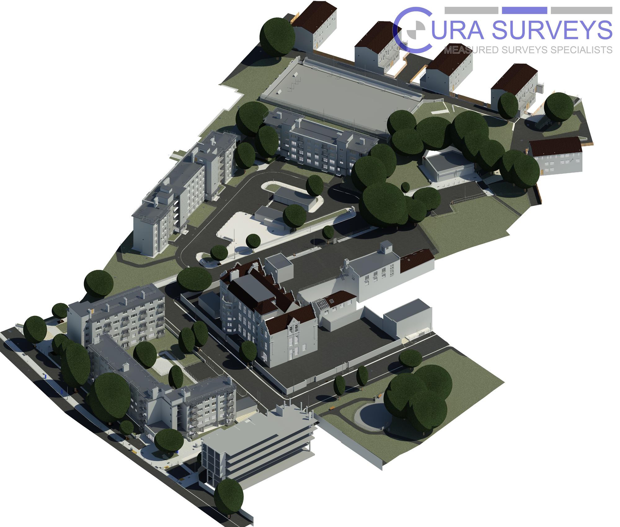
- Topographical surveys
- 3D laser scanning surveys
- Scan to BIM services
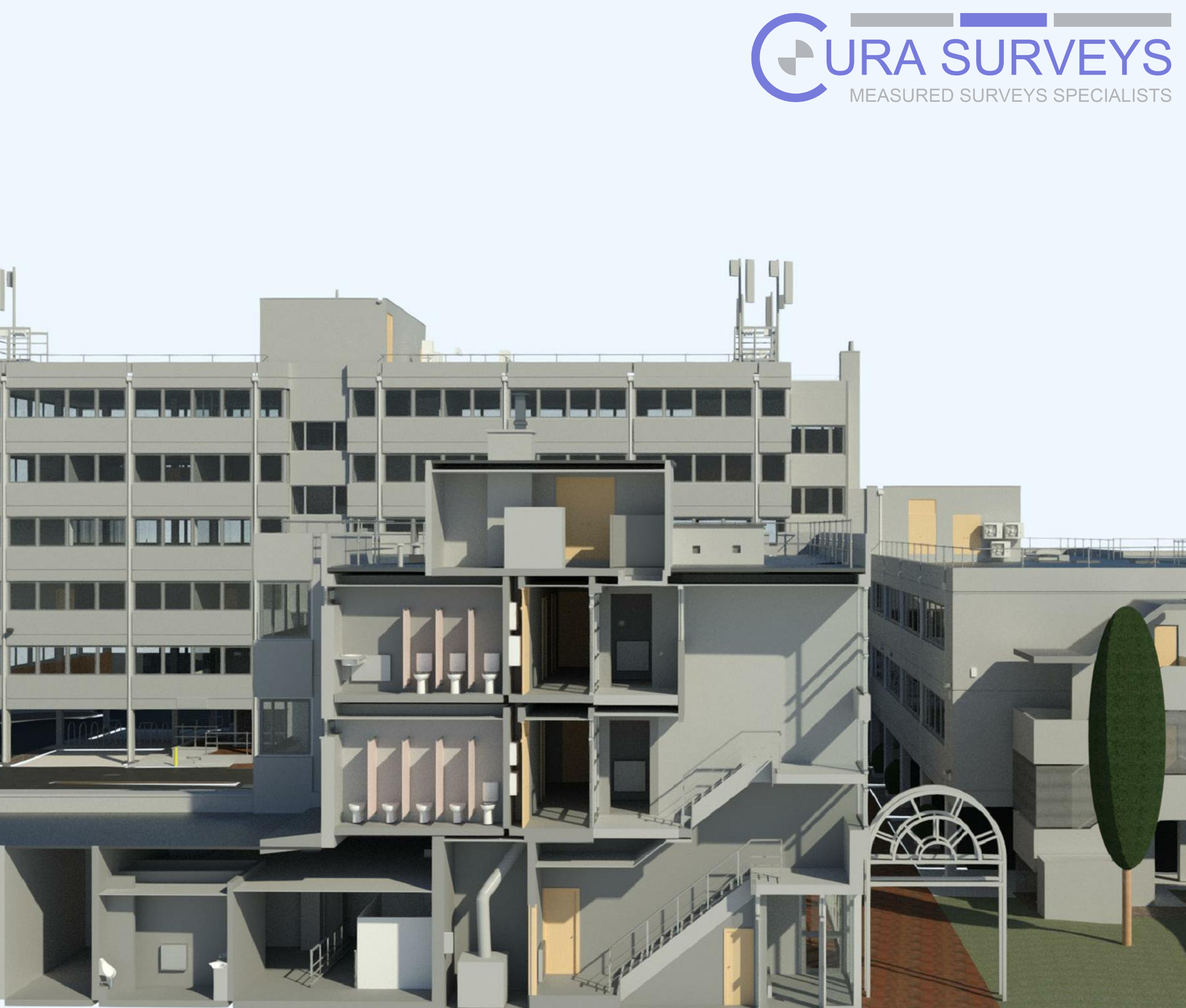
- Revit survey models
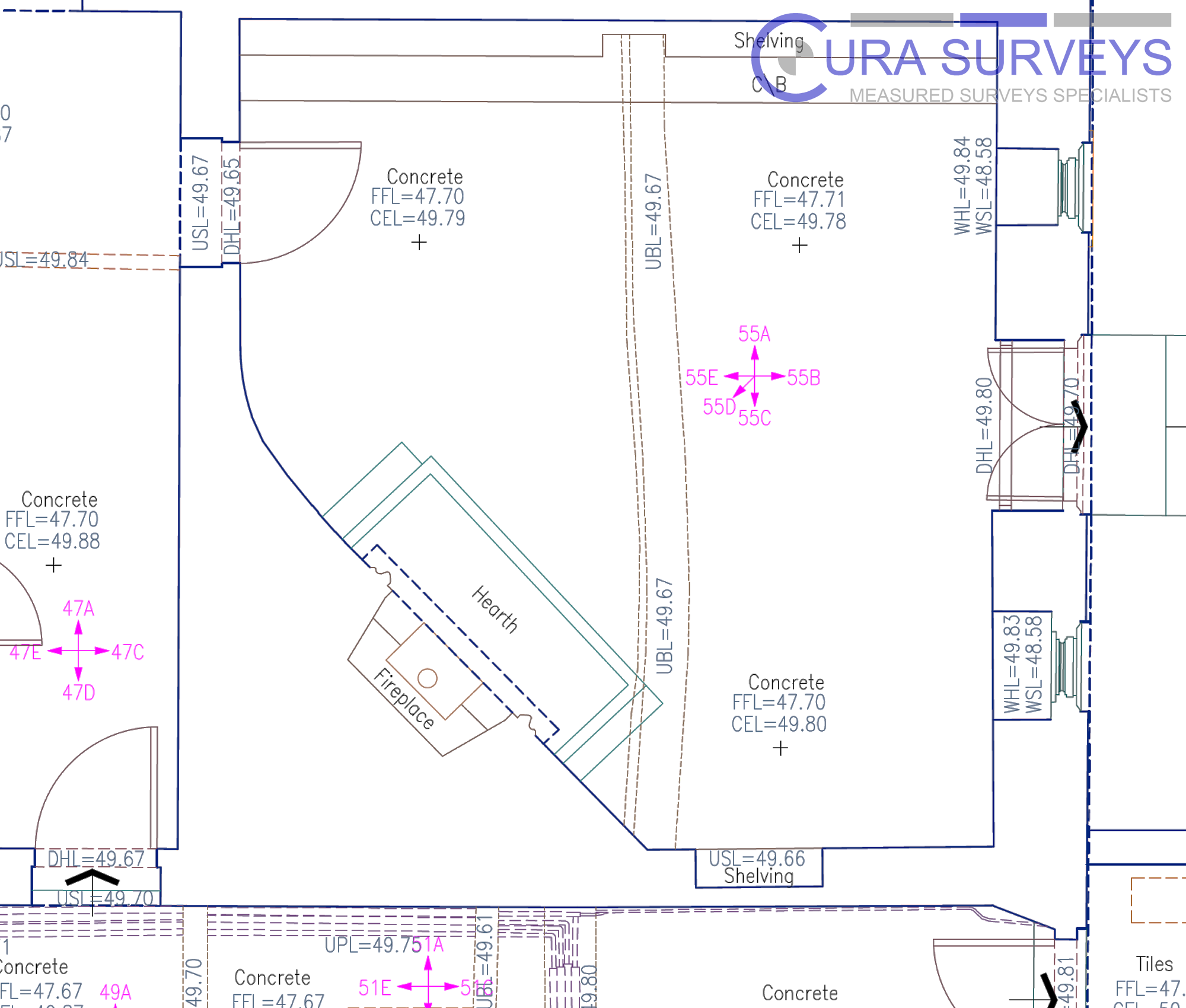
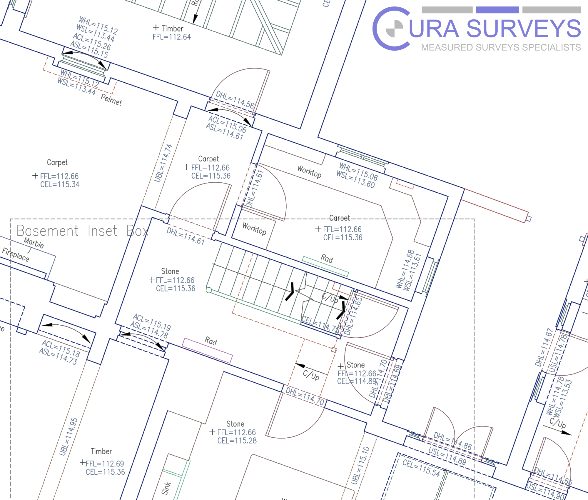
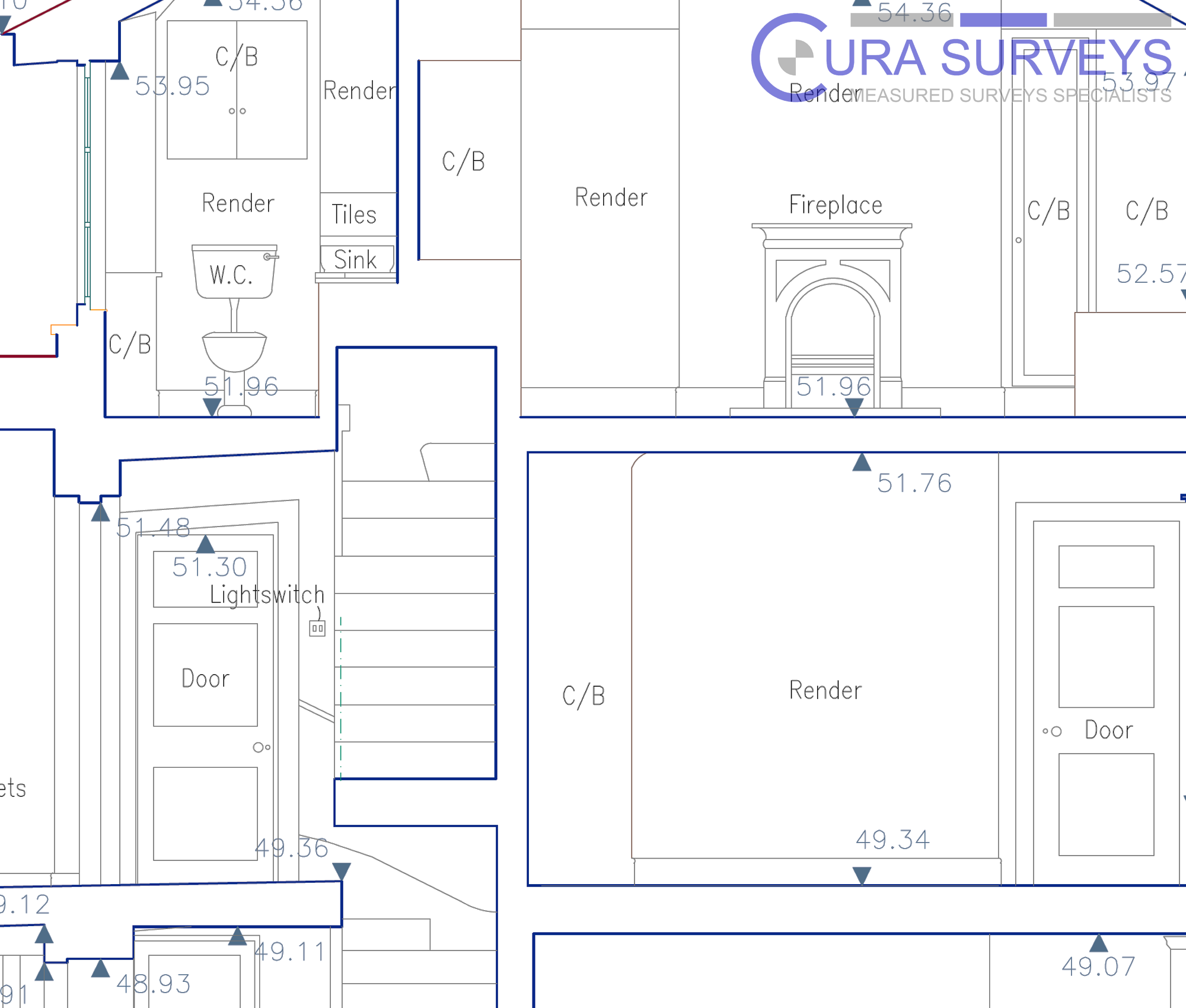
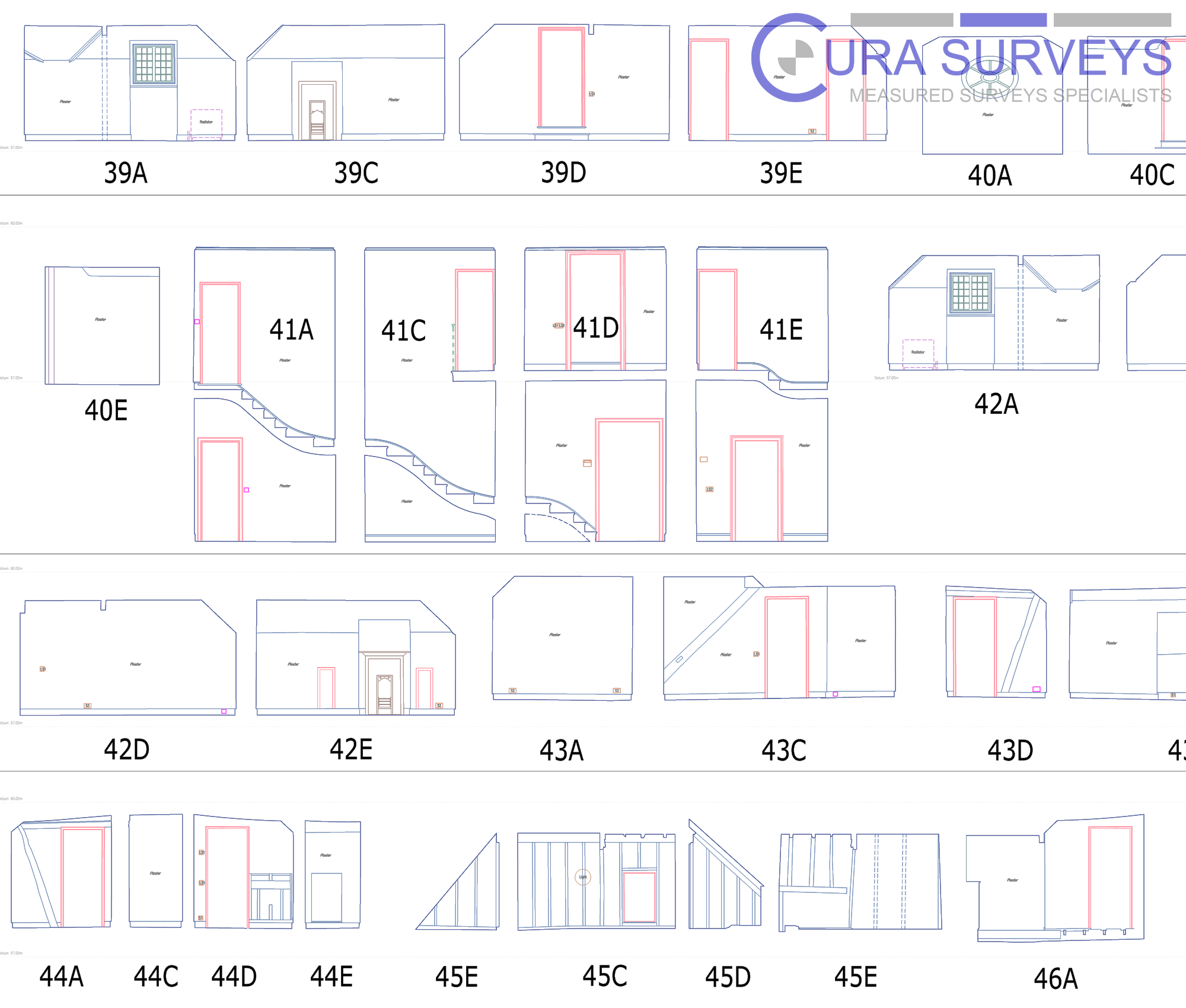
- CAD floor plans, elevations and sections
- Reflected ceiling plans
- Roof plans and external elevations
- Point cloud data
- Drone surveys and roof inspections
- Area referencing and IPMS surveys
- PAS128 utility surveys where required
- Drainage CCTV surveys where required
This gives architects and consultants one reliable source for existing-building, land, utility, drainage and 3D survey data.
Trusted by Architects, Engineers and Property Professionals
As an architect, I have had the pleasure to work with Lei and his team on several occasions, in person and remotely, and will continue to do so in the future. They provide an efficient and effective service tailored to your needs with a very reasonable price tag. They are very professional and highly responsive with any queries you might have.
– Mufaddal Nagree – Architect and Director of Studio MN&A
Posted on GoogleTrustindex verifies that the original source of the review is Google. We were particularly happy with how easy the whole process was to organise, from start to finish. Communication was clear and prompt throughout, and Lei was professional, friendly, and completely unobtrusive while carrying out the survey. The drawings are excellent and very clear, and we would happily recommend this company to anyone looking for this service.Posted on GoogleTrustindex verifies that the original source of the review is Google. Cura Surveys were wonderful. It took very little time to organise an appointment to measure my flat, and the measured survey came through on time. Additionally, Lei was kind enough to send me a PDF version with some specific measurements I needed which were otherwise very hard for me to calculate given that I don't have the software my architects/designers have.Posted on GoogleTrustindex verifies that the original source of the review is Google. Very efficient and professional.Posted on GoogleTrustindex verifies that the original source of the review is Google. Excellent service.Posted on GoogleTrustindex verifies that the original source of the review is Google. Cura Surveys offer & deliver a first class, attentive service. They are flexible and efficient. And the quality of the survey outputs are great. I thoroughly recommend Lei & the team.Posted on GoogleTrustindex verifies that the original source of the review is Google. Well donePosted on GoogleTrustindex verifies that the original source of the review is Google. We approached Lei for a building & topological survey in preparation for planing, such a lovely person and the plans were off a very high standard. I would strongly recommend this company, plans came back in a week, easy communication and very professional. My architect is very happy. They are also very reasonable with costs. Excellent all rounder. Thank you Lei. A very happy customer. ChantalPosted on GoogleTrustindex verifies that the original source of the review is Google. We are an Engineering company based in London and have worked with Lei on several occasions on various projects within the construction industry. The quality of scans are always excellent quality, and provide a very efficient service. We look forward to working with Cura surveys in the future.Posted on GoogleTrustindex verifies that the original source of the review is Google. We used Cura Surveys for two of the residential projects we have been involved with and we’re impressed with their level of professionalism. They were courteous on site and provided a complete and high quality survey. Wouldn’t hesitate to recommend.
For enquiries received Monday to Friday, 9am–5pm, where sufficient project information has been provided.
Typical Project Uses
Our survey data supports a wide range of architectural and planning projects, including:
- Residential extensions and refurbishments
- Planning applications
- Listed building and heritage projects
- Commercial refurbishment
- Retail and hospitality fit-out
- Change-of-use projects
- School and estate improvement works
- Airspace and infill development
- Technical design and construction drawings
- BIM and Revit-based design workflows
We understand that architects do not just need measurements. They need survey information that is accurate, well presented and easy to use in their design process.
CAD, Revit, BIM and Point Cloud Deliverables
Different projects require different outputs. Cura Surveys can tailor the deliverables to suit your workflow.
For 2D design work, we can provide CAD floor plans, elevations, sections, roof plans and reflected ceiling plans in DWG and PDF formats.
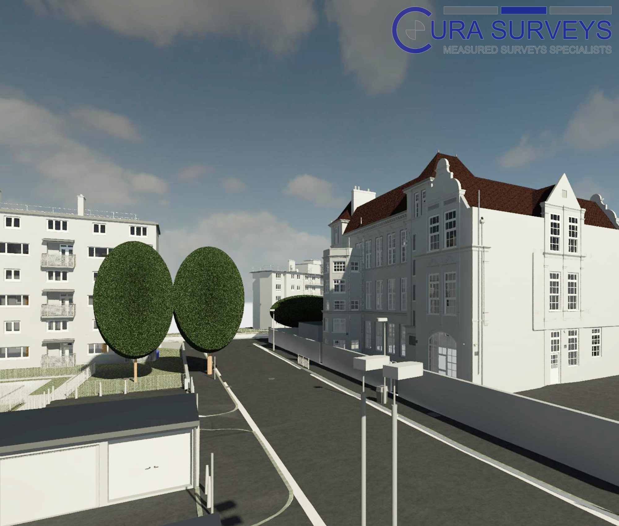
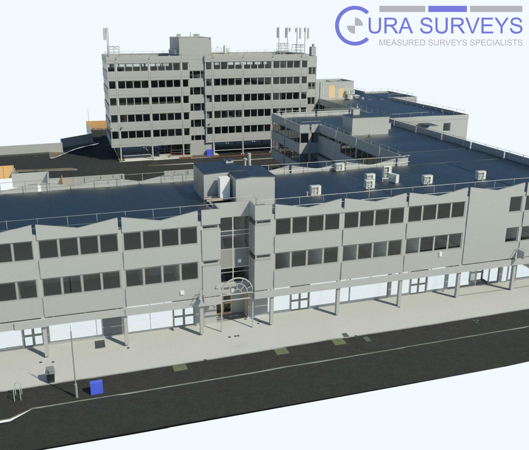
For 3D and BIM projects, we can provide point cloud data, Revit survey models, Scan to BIM deliverables and 3D existing-condition information.
For larger or more complex projects, we can combine measured building surveys, topographical surveys, laser scanning and drone survey data to give your team a more complete understanding of the site.
Why Architects Choose Cura Surveys
Architects and planning consultants choose Cura Surveys because we understand how survey data is used in real design work.
We provide:
- RICS-regulated survey services
- Over 20 years of professional surveying experience
- Accurate CAD, Revit and point cloud deliverables
- Laser scanning, total station, GNSS, SLAM and drone survey capability
- Clear scopes before work starts
- Practical advice on the right survey outputs for your project
- Experience with residential, commercial, heritage, public-sector and complex buildings
- Responsive communication and reliable delivery
Our aim is to provide survey information that helps your design team move forward with confidence.
For enquiries received Monday to Friday, 9am–5pm, where sufficient project information has been provided.
London County Hall
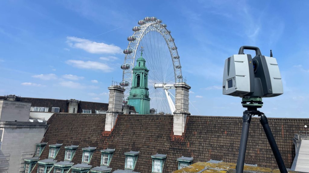
Full measured survey and lift shaft verticality survey for one of London’s landmark buildings, supporting refurbishment planning, engineering review and design coordination.
Services: Measured Building Survey, Engineering Survey, Verticality Survey, Point Cloud Data
OVO Arena Wembley
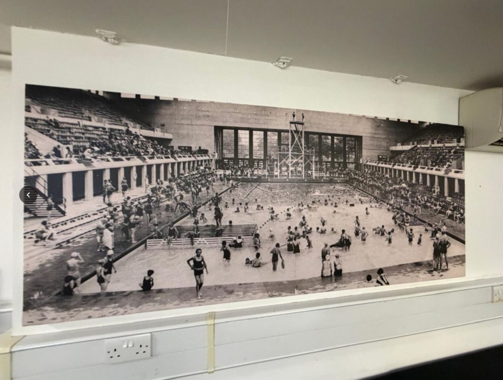
Full measured building survey and 3D laser scanning survey of a large entertainment venue, providing accurate existing-condition data for design and coordination.
Services: Measured Building Survey, 3D Laser Scanning, CAD Drawings, Point Cloud Data

London Borough of Sutton — High Street Regeneration
Survey support across more than 20 sites for the Sutton High Street regeneration scheme, including full measured surveys, Revit BIM models, topographical surveys and multi-stakeholder project support.
Services: Measured Building Survey, Revit BIM, Topographical Survey, Regeneration Survey
Related Services
- Measured Building Surveys
- Topographical Surveys
- 3D Laser Scanning Surveys
- Scan to BIM Services
- Revit Survey Models
- Drone Surveys
- Area Referencing & IPMS Surveys
- PAS128 Utility Surveys
For refurbishment or extension projects, our measured building surveys can provide CAD floor plans, elevations and sections, while our Scan to BIM services can support Revit-based design workflows.
Need Survey Data for an Architectural Project?
Cura Surveys provides measured building surveys, topographical surveys, 3D laser scanning, CAD drawings, Revit models and point cloud data for architects, planning consultants and design teams across London, Surrey and the UK.
Send us the site address, survey extent, required deliverables and deadline, and we will provide a clear fixed-fee quotation.

Call us on 0203 488 5858 or email info@curasurveys.co.uk with your project details. We’ll provide a clear no-obligation quote (with no hidden costs) and feasible timescales.