
PAS128 Underground Utility Survey
Cura Surveys provides professional PAS128 underground utility surveys for construction, design, planning, excavation and redevelopment projects.
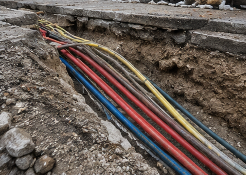
Underground utilities can present significant risks if they are not properly identified before works begin. Our utility surveys help project teams understand the location of buried services such as drainage, water, gas, electricity, telecoms and other underground infrastructure.
Using a combination of desktop records, site inspection, electromagnetic detection, ground penetrating radar and measured survey methods, we provide clear utility survey information to support safe design and construction.
What is a PAS128 Underground Utility Survey?
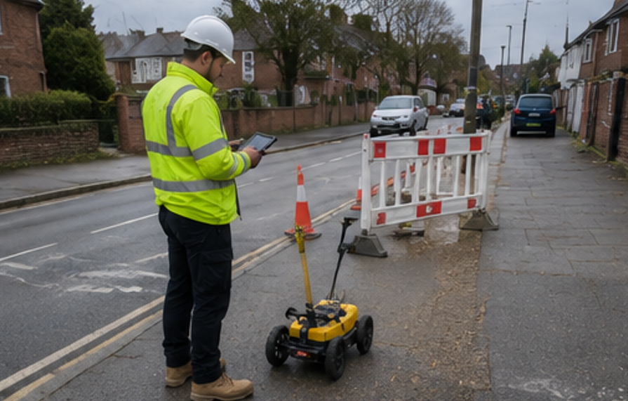
A PAS128 underground utility survey is a structured survey carried out to identify, locate and record underground services in accordance with recognised utility survey standards. The survey can include reviewing existing utility records, inspecting visible surface features, detecting underground services on site and presenting the results in a clear drawing or report.
PAS128 surveys help show where underground utilities are likely to be located and, where possible, provide information on service type, position, depth and confidence level. They are commonly used before excavation, construction, design works, drainage works, highway works, site development and refurbishment projects.
Posted on GoogleTrustindex verifies that the original source of the review is Google. We were particularly happy with how easy the whole process was to organise, from start to finish. Communication was clear and prompt throughout, and Lei was professional, friendly, and completely unobtrusive while carrying out the survey. The drawings are excellent and very clear, and we would happily recommend this company to anyone looking for this service.Posted on GoogleTrustindex verifies that the original source of the review is Google. Cura Surveys were wonderful. It took very little time to organise an appointment to measure my flat, and the measured survey came through on time. Additionally, Lei was kind enough to send me a PDF version with some specific measurements I needed which were otherwise very hard for me to calculate given that I don't have the software my architects/designers have.Posted on GoogleTrustindex verifies that the original source of the review is Google. Very efficient and professional.Posted on GoogleTrustindex verifies that the original source of the review is Google. Excellent service.Posted on GoogleTrustindex verifies that the original source of the review is Google. Cura Surveys offer & deliver a first class, attentive service. They are flexible and efficient. And the quality of the survey outputs are great. I thoroughly recommend Lei & the team.Posted on GoogleTrustindex verifies that the original source of the review is Google. Well donePosted on GoogleTrustindex verifies that the original source of the review is Google. We approached Lei for a building & topological survey in preparation for planing, such a lovely person and the plans were off a very high standard. I would strongly recommend this company, plans came back in a week, easy communication and very professional. My architect is very happy. They are also very reasonable with costs. Excellent all rounder. Thank you Lei. A very happy customer. ChantalPosted on GoogleTrustindex verifies that the original source of the review is Google. We are an Engineering company based in London and have worked with Lei on several occasions on various projects within the construction industry. The quality of scans are always excellent quality, and provide a very efficient service. We look forward to working with Cura surveys in the future.Posted on GoogleTrustindex verifies that the original source of the review is Google. We used Cura Surveys for two of the residential projects we have been involved with and we’re impressed with their level of professionalism. They were courteous on site and provided a complete and high quality survey. Wouldn’t hesitate to recommend.
Why is an Underground Utility Survey Important?
Underground services are often complex, incomplete or inaccurately recorded. Relying only on statutory utility plans can lead to missing, outdated or approximate information.
A PAS128 utility survey helps reduce the risk of:
- Striking buried services during excavation
- Delays caused by unknown utilities
- Design clashes with existing infrastructure
- Unexpected costs during construction
- Safety risks to site workers and the public
- Damage to critical services
- Inaccurate assumptions during design
A professional utility survey gives the project team better information before intrusive works begin.
Why Choose Cura Surveys?
Cura Surveys is a professional measured survey company with extensive experience in land, building, engineering and utility survey projects.
Clients choose Cura Surveys because we provide:
- PAS128 underground utility survey services
- Experienced surveyors and professional detection equipment
- Ground penetrating radar and electromagnetic location methods
- Clear CAD drawings and utility survey outputs
- Integration with topographical and measured building surveys
- Practical understanding of design and construction requirements
- Reliable communication from enquiry to delivery
- Flexible service for small sites, commercial properties and larger developments
- RICS-regulated professional standards
We help clients reduce uncertainty, manage risk and plan works with greater confidence.
PAS128 Underground Utility Survey Services
Our underground utility survey services include:
- PAS128 utility surveys
- Desktop utility record searches
- Site reconnaissance surveys
- Electromagnetic service detection
- Ground penetrating radar surveys
- Manhole and inspection chamber surveys
- Drainage connectivity surveys
- Utility cover lifting and inspection
- Utility tracing
- Buried service detection
- Service marking on site
- Utility mapping
- Depth estimation where detectable
- CAD utility drawings
- Topographical survey with utility features
- Drainage and service cover schedules
- Survey reports and limitations notes
- Combined utility, topo and measured survey packages
PAS128 Survey Quality Levels
PAS128 utility surveys can include different levels of information depending on the project requirement.
Desktop Utility Search
This involves collecting and reviewing available utility records from statutory providers and other available sources. It is useful at early design stage, but should not normally be relied upon alone for excavation or construction.
Site Reconnaissance
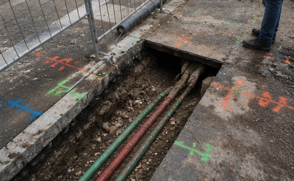
Visible utility features are inspected and recorded on site. These may include inspection covers, manholes, valve covers, gullies, chambers, cabinets, posts and service markers.
Detection Survey
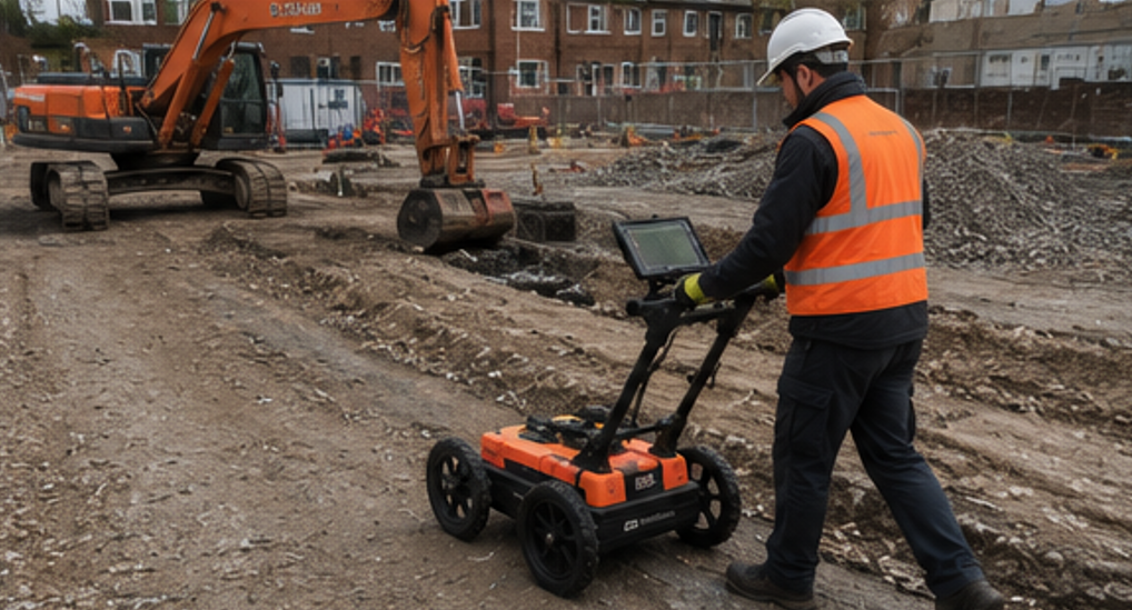
Underground services are investigated using detection equipment such as electromagnetic locators and ground penetrating radar. The results are recorded and presented on a utility survey drawing.
Verification Survey
Where required, intrusive verification such as trial holes or vacuum excavation can be used by others to confirm the exact position and depth of buried services. This is often used where high certainty is required before critical works.
A PAS128 utility survey can show the position of detected underground services, visible utility features, inspection covers, drainage chambers, service routes and, where possible, estimated depths. The exact information depends on the scope, site conditions and the detectability of the services.
No utility survey can guarantee that every underground service will be detected. Some services may be too deep, made from non-conductive materials, poorly installed, inaccessible, shielded by ground conditions, or not detectable using non-intrusive methods. We will clearly state the limitations of the survey.
We commonly use electromagnetic cable and pipe locators, signal generators, ground penetrating radar, total stations, GNSS equipment and survey software. The exact equipment used will depend on the site conditions and survey requirements.
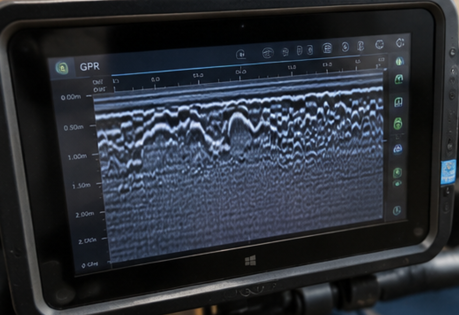
GPR stands for Ground Penetrating Radar. It sends radar signals into the ground and records reflections from buried objects, changes in material or underground features. It is particularly useful for detecting services that may not respond to electromagnetic detection, although results depend on ground conditions and service characteristics.
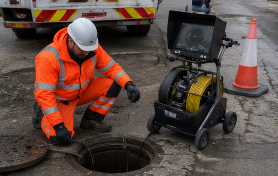
Where safe and accessible, we can lift and inspect covers as part of the survey. This helps identify drainage chambers, service routes, pipe sizes, invert levels and connectivity. Some covers may be too heavy, seized, unsafe, trafficked or otherwise unsuitable to lift.
Where detectable, we can provide estimated depths to underground services. Depth information should be treated with care, as non-intrusive detection methods have limitations. For critical works, intrusive verification may be required before excavation.
Deliverables can include CAD drawings, PDF drawings, utility survey reports, service cover schedules, photos, marked-up plans and digital survey data. Utility information can also be combined with a topographical survey or other measured survey deliverables.
Yes. We often provide combined topographical and underground utility surveys. This gives the project team a coordinated drawing showing surface features, levels, boundaries, buildings, utility covers and detected underground services.
Call us on 0203 488 5858 or email info@curasurveys.co.uk with your project details. We’ll provide a clear no-obligation quote (with no hidden costs) and feasible timescales.