
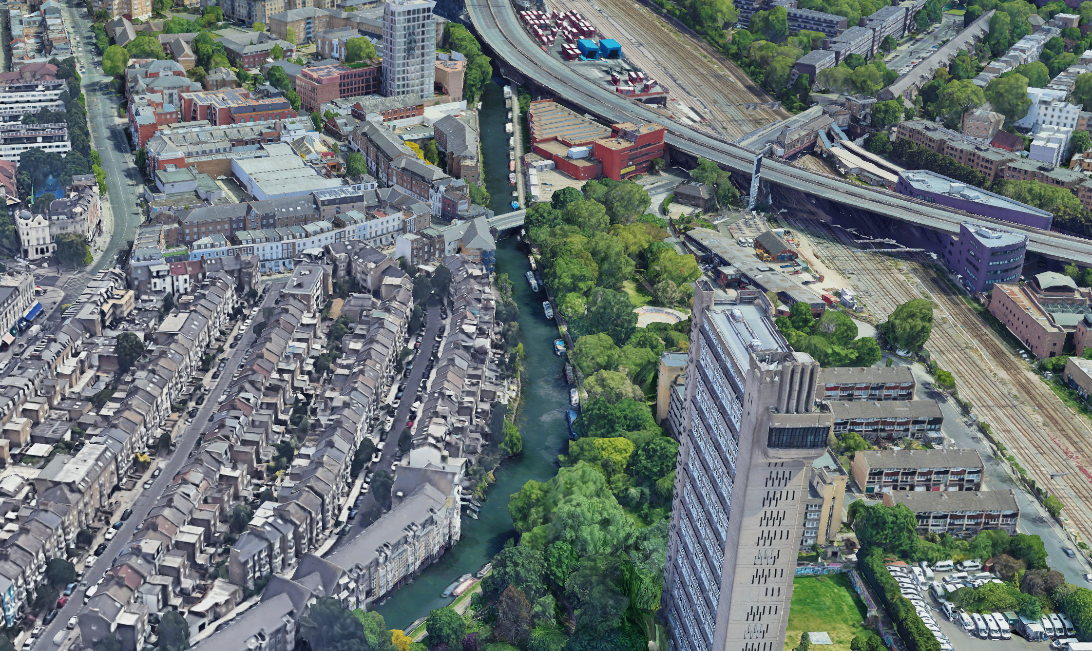
Grand Union Canal — Large Topographical Survey & 3D Laser Scanning
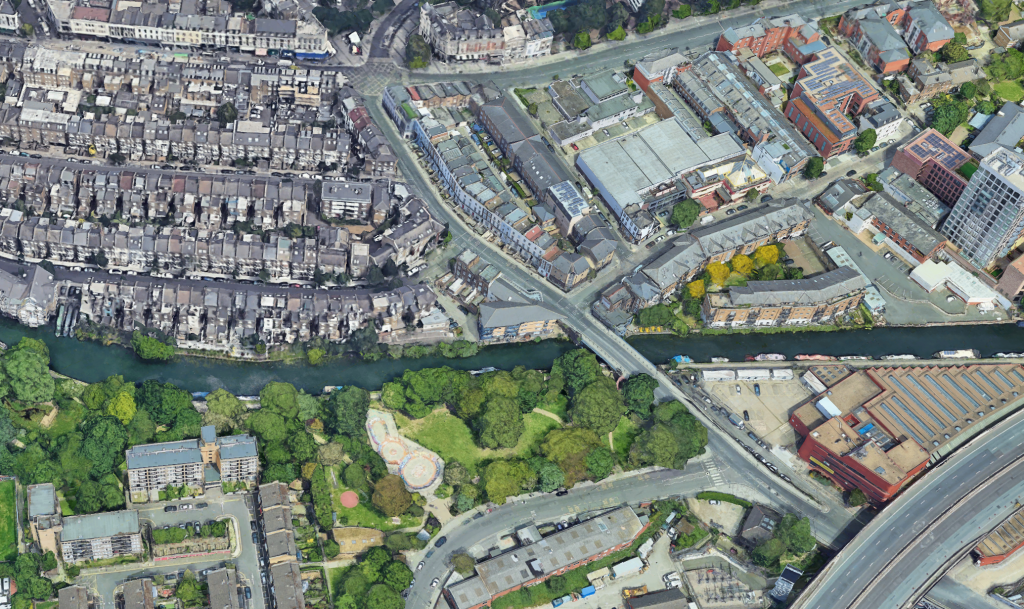
Cura Surveys carried out a large topographical survey and 3D laser scanning project along the Grand Union Canal, providing accurate existing-site information for design, review and project planning.
The project required detailed survey data across a canal-side environment, including levels, structures, surrounding features, access areas and existing site constraints. By combining topographical survey methods with 3D laser scanning, Cura Surveys captured both the wider site context and detailed spatial information where required.
This project demonstrates our ability to deliver accurate survey data in complex outdoor and infrastructure-style environments.
Project Requirements
The client required reliable site information to support design and project review.
The survey scope included:
- Topographical survey data
- 3D laser scanning
- Site levels and existing features
- Canal-side structures and edges
- Access routes and surrounding context
- CAD survey drawings
- Point cloud data where required
- Existing-condition information for design coordination
For canal and infrastructure environments, accurate survey information is important because levels, structures, access restrictions and surrounding site features can all affect design and construction decisions.
Survey Methodology
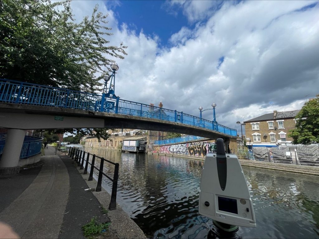
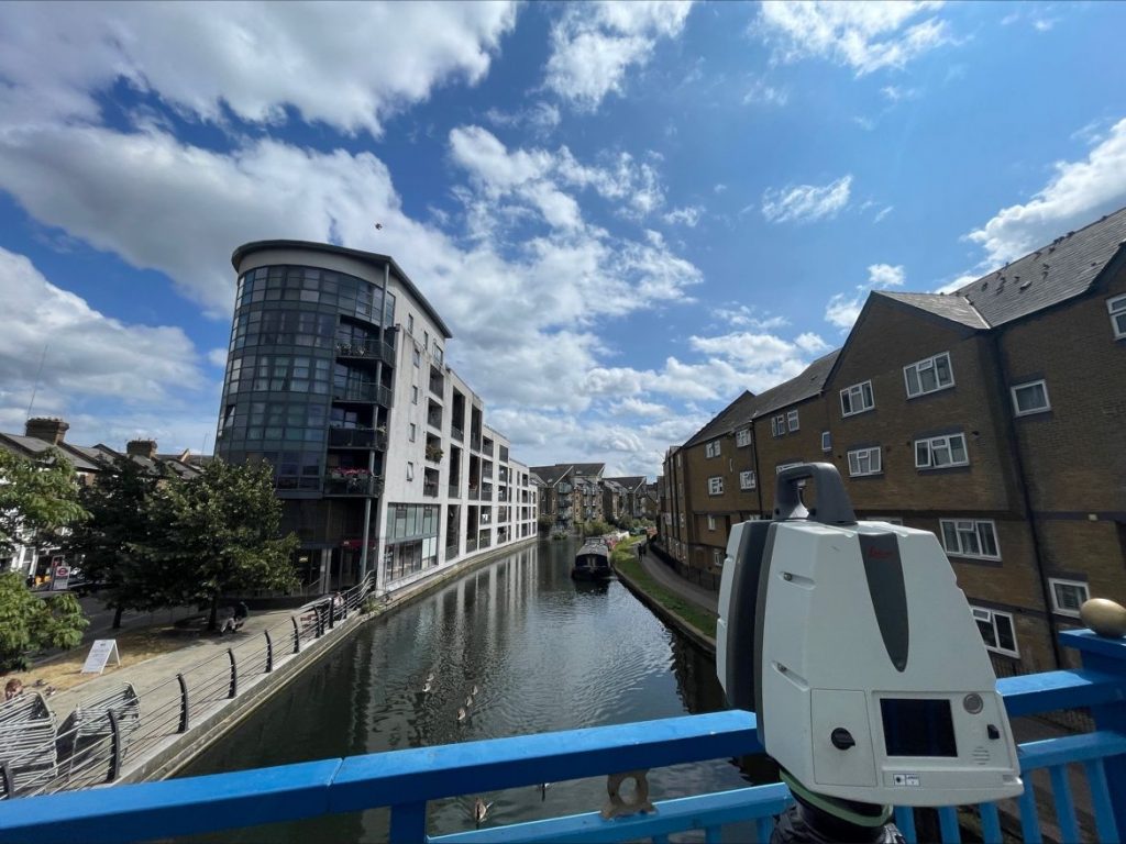
Cura Surveys used a combination of topographical survey equipment and 3D laser scanning to capture the required site information.
The topographical survey recorded levels, features and site geometry, while laser scanning helped capture detailed spatial information across more complex areas. This combined method allowed the project team to receive a clear and coordinated survey dataset.
The final survey information was processed into practical CAD deliverables and supporting survey data for review by the project team.
Key Challenges
Canal-side survey projects often involve access, safety and visibility challenges. The survey team needed to work carefully around the existing environment while capturing accurate data along the required survey extent.
Key challenges included:
- Large survey area
- Canal-side access constraints
- Existing structures and level changes
- Capturing accurate levels and site features
- Combining topographical and laser scanning data
- Producing clear survey outputs for design use
This project shows Cura Surveys’ ability to work beyond standard building surveys and provide reliable data for larger external, infrastructure and waterside environments.
Deliverables
Cura Surveys provided:
- Topographical survey drawings
- CAD survey outputs
- Site level information
- Existing feature survey data
- 3D laser scanning data
- Point cloud information where required
- Survey information for design and project review
Why This Project Matters
The Grand Union Canal project demonstrates Cura Surveys’ capability in delivering large-scale site surveys in challenging outdoor and waterside environments.
It shows our experience in:
- Topographical surveys
- 3D laser scanning
- Canal and waterside survey environments
- Large site survey projects
- Infrastructure-style survey work
- CAD survey drawings
- Accurate level and existing-condition data
For clients working on canals, waterways, infrastructure sites, public realm projects, development sites or complex external environments, Cura Surveys can provide the accurate survey data needed before design or construction work begins.
Posted on GoogleTrustindex verifies that the original source of the review is Google. We were particularly happy with how easy the whole process was to organise, from start to finish. Communication was clear and prompt throughout, and Lei was professional, friendly, and completely unobtrusive while carrying out the survey. The drawings are excellent and very clear, and we would happily recommend this company to anyone looking for this service.Posted on GoogleTrustindex verifies that the original source of the review is Google. Cura Surveys were wonderful. It took very little time to organise an appointment to measure my flat, and the measured survey came through on time. Additionally, Lei was kind enough to send me a PDF version with some specific measurements I needed which were otherwise very hard for me to calculate given that I don't have the software my architects/designers have.Posted on GoogleTrustindex verifies that the original source of the review is Google. Very efficient and professional.Posted on GoogleTrustindex verifies that the original source of the review is Google. Excellent service.Posted on GoogleTrustindex verifies that the original source of the review is Google. Cura Surveys offer & deliver a first class, attentive service. They are flexible and efficient. And the quality of the survey outputs are great. I thoroughly recommend Lei & the team.Posted on GoogleTrustindex verifies that the original source of the review is Google. Well donePosted on GoogleTrustindex verifies that the original source of the review is Google. We approached Lei for a building & topological survey in preparation for planing, such a lovely person and the plans were off a very high standard. I would strongly recommend this company, plans came back in a week, easy communication and very professional. My architect is very happy. They are also very reasonable with costs. Excellent all rounder. Thank you Lei. A very happy customer. ChantalPosted on GoogleTrustindex verifies that the original source of the review is Google. We are an Engineering company based in London and have worked with Lei on several occasions on various projects within the construction industry. The quality of scans are always excellent quality, and provide a very efficient service. We look forward to working with Cura surveys in the future.Posted on GoogleTrustindex verifies that the original source of the review is Google. We used Cura Surveys for two of the residential projects we have been involved with and we’re impressed with their level of professionalism. They were courteous on site and provided a complete and high quality survey. Wouldn’t hesitate to recommend.
Related Services
This project is relevant to:
- Topographical Surveys
- 3D Laser Scanning Surveys
- Engineering Surveys
- Hydrographic & Bathymetric Surveys
- Point Cloud Surveys
- CAD Survey Drawings
- Infrastructure Survey Support
Need Survey Data for a Canal, Infrastructure or Large Site Project?
Cura Surveys provides topographical surveys, 3D laser scanning, CAD drawings, point cloud data, engineering survey support and hydrographic survey services for large sites, waterside environments and infrastructure projects across the UK.
Send us the site location, survey extent, required deliverables and deadline, and we will provide a clear fixed-fee quotation.
Call us on 0203 488 5858 or email info@curasurveys.co.uk with your project details. We’ll provide a clear no-obligation quote (with no hidden costs) and feasible timescales.