Boundary Survey London
What is a Boundary Survey?
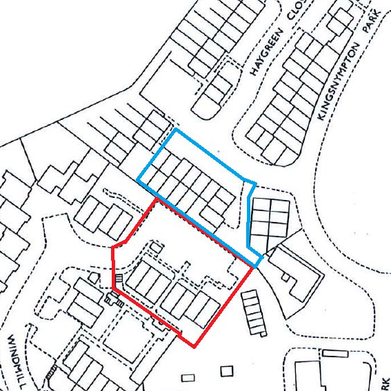
A boundary survey is a detailed examination and measurement of the boundaries of a property or a piece of land. It is conducted by a professional surveyor to establish or reestablish the legal boundaries of a property, and it plays a crucial role in determining property rights, ownership, and the accurate depiction of land on maps and legal documents.
The primary purpose of a boundary survey is to prevent conflicts, disputes, and uncertainties regarding property boundaries. By precisely defining the boundaries, a boundary survey helps to avoid encroachments, trespassing, and overlapping claims between adjacent landowners. It provides clear and reliable information about the extent and limits of a property, allowing owners to make informed decisions about land use, development, and property transactions.
During a boundary survey, a licensed surveyor will conduct a thorough examination of available property records, deeds, plats, and any relevant legal documents. They will then physically measure and locate the existing markers, monuments, or boundary lines on the ground. This process may involve using advanced surveying equipment, such as GPS receivers, total stations, and electronic distance measurement devices, to achieve precise measurements.
The surveyor will often place new markers or monuments along the property boundaries to clearly indicate their positions. These markers can be physical objects like iron pins, concrete monuments, or metal stakes, which serve as reference points for future surveys and for the identification of the property boundaries.
Once the survey is complete, the surveyor will prepare a boundary survey plat or map, which includes detailed information about the property boundaries, measurements, angles, and any relevant features or improvements on or near the boundaries. This survey plat becomes an essential legal document that can be used for property transactions, resolving boundary disputes, securing title insurance, and obtaining permits for construction or development.
It’s important to note that a boundary survey is different from a land survey or a topographic survey, which may focus on other aspects of the property, such as the elevation, contours, or physical features of the land.
In summary, a boundary survey is a meticulous process carried out by a qualified surveyor to establish or reestablish the legal boundaries of a property. It provides accurate and reliable information about property ownership, boundaries, and rights, ensuring clarity and minimising potential conflicts among landowners.
Why use Cura Surveys?
Cura Surveys are Chartered Land Surveyors regulated by the RICS. We have the expertise and experience to offer specialist surveying services in relation to boundary disputes.
Working under RICS regulation, our unbiased and independent approach can provide both sides with confidence in the reliability of the information that we produce, in circumstances in which there may be a breakdown in trust and communication between disputing parties. We deliver reports compatible with Civil Procedure Rules part 35 (CPR35), detailing the documentation that we have reviewed, our methodology used and the conclusions that we have made from the information available.
Call us on 0203 488 5858 or email info@curasurveys.co.uk with any questions or to get a quote.